Knights Point
In the 1950″s The Haast bridge was constructed to take the road north along the coast. A second crew began construction south of Ross and progressed south. The two teams met at Kights Point conecting Westland and Otago.
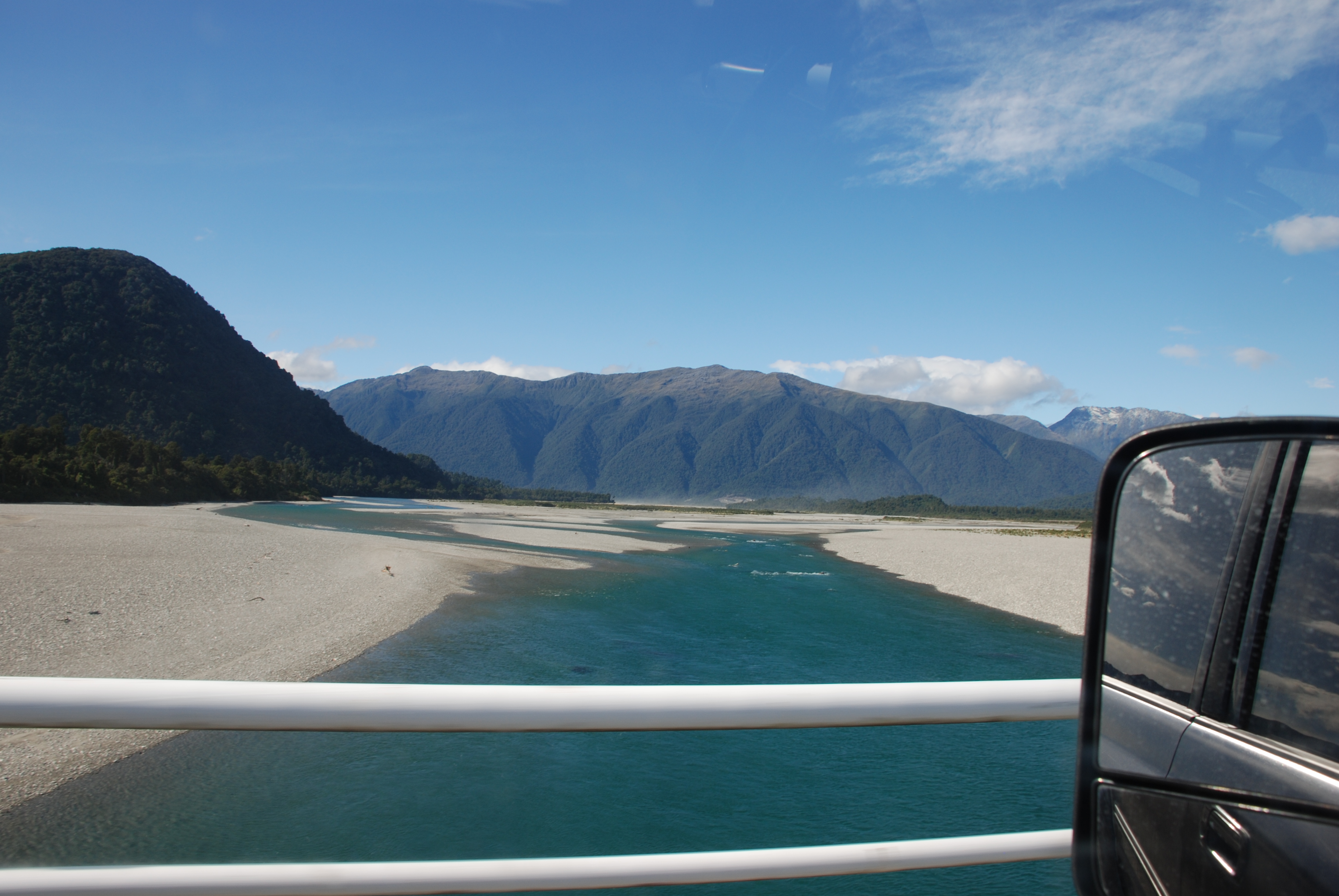
Crossing the bridge over the Haast River with Mount Aspiring National Park in the background.

Knights Point – above the steep rocky coast, the lookout offers magnificent views.

Looking north.
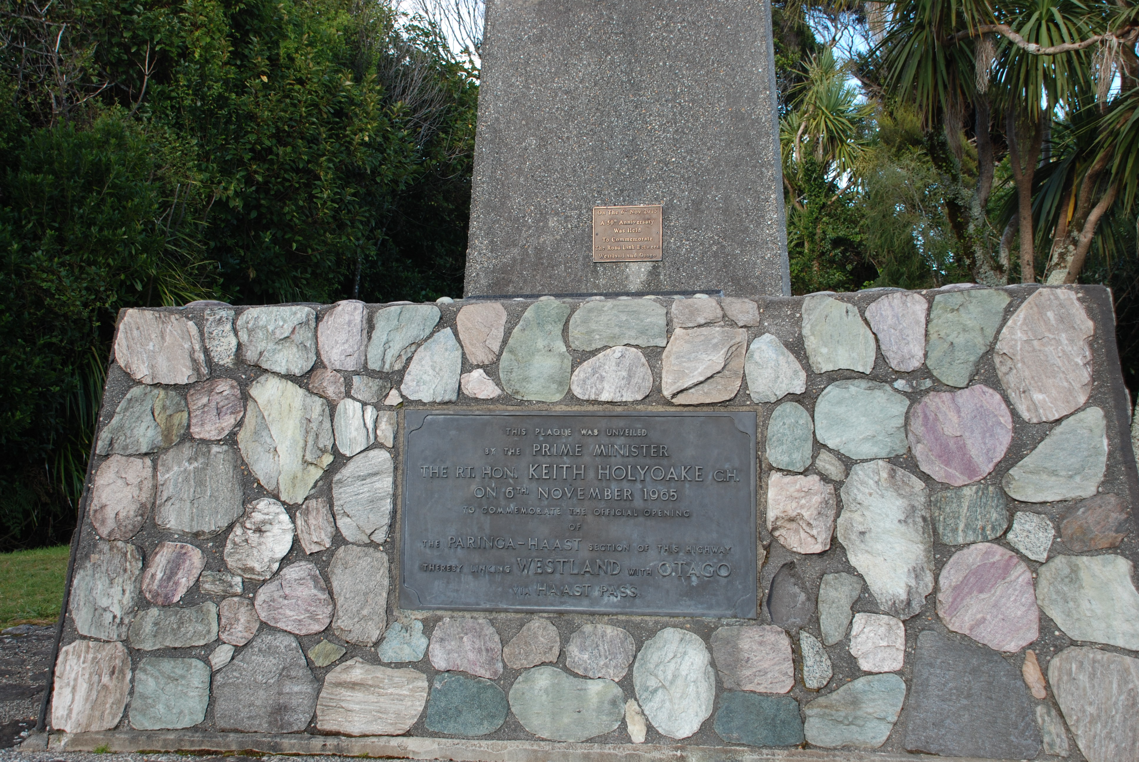
The road opened in 1965.

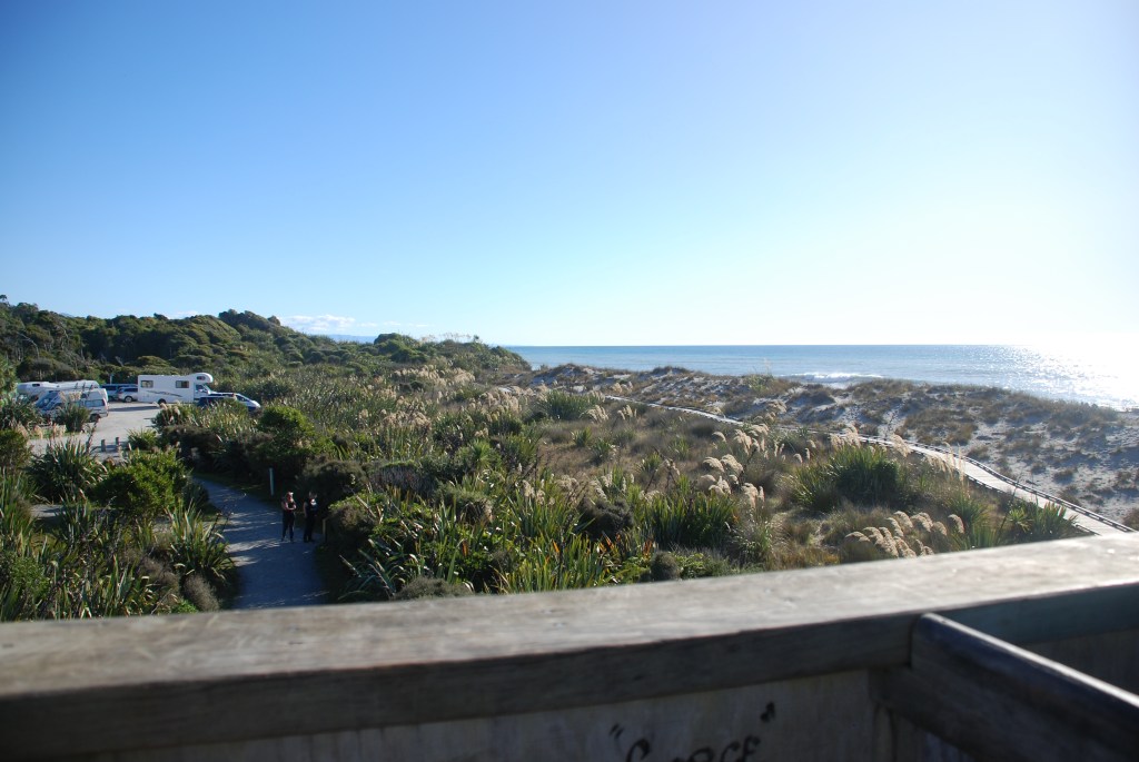
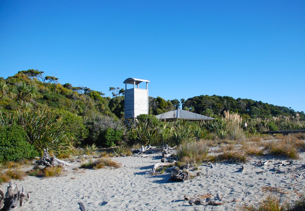
Ship Creek
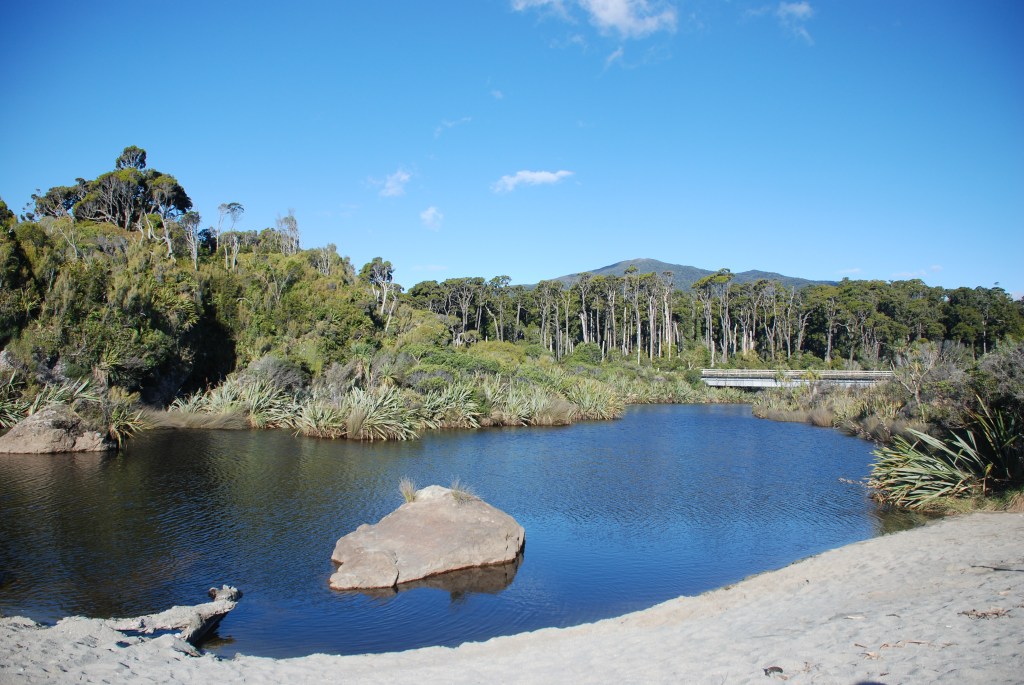
The ancient Kahikatea swamp forest provides a glimpse back in time, showing what most of the West Coast may have looked like before human settlement.
The tower platform provides sweeping views of the ocean, Jackson Head, and wetlands. There is an easy 1.5 km walking track. The loop becomes a boardwalk, giving a close view of the trees aged 500-800 years. A second walk to a Dune Lake (30 minutes) winds through dense wind-shorn coastal forest stunted by the wind.
The name Ship Creek comes from the discovery of the hull of a wrecked ship in 1870, which was thought to be part of the clipper SS Schomberg on her maiden voyage from Liverpool to Melbourne in 1855.
Unfortunately, we didn’t read up on the walks before going there and were heading up the coast for the day, so we left those for next time. It’s a great spot to stop even if you don’t have time or can’t do the walks. The tower has ladders but it’s reasonably accessible and well worth the climb for the amazing views.


How to get there:
Ships Creek – From Hast township travel, approximately 15km North on SH 6.
Knights Point – From Haast towneship head North for approx 25km on SH 6.


The “West is Best Coast” of New Zealand👌
LikeLike
Very true Tony, looking forward to get back over there soon 😀
LikeLike