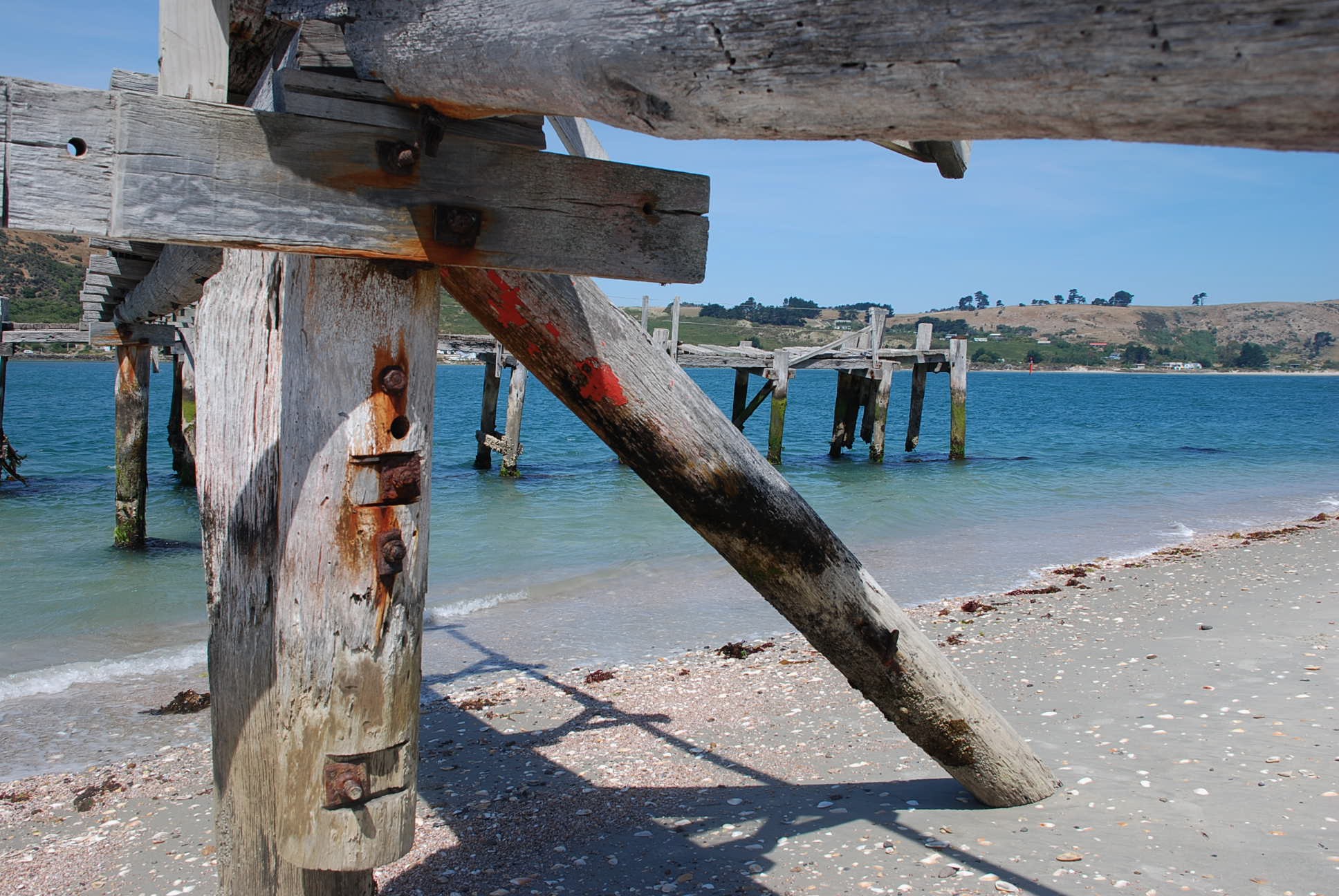
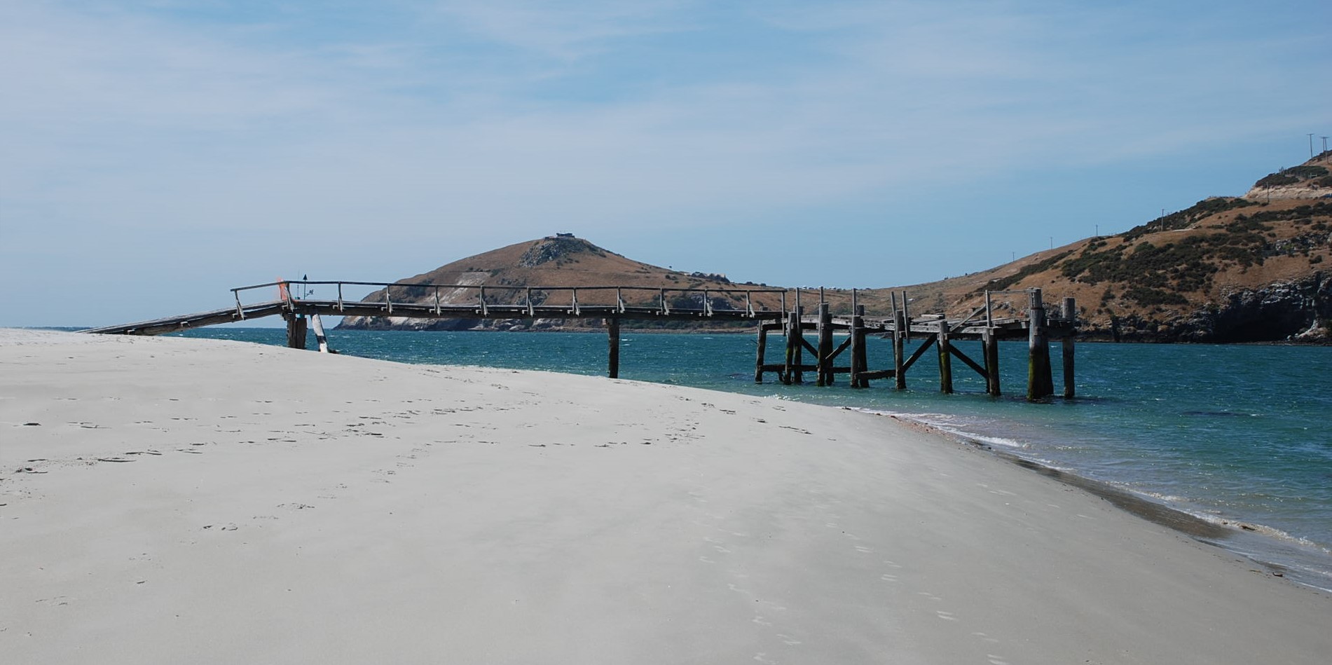
The name Aramoana is Maori for “pathway to the sea”. Originally founded by The Otago Harbour Board, established in the 1880s as an ideal pilot station for navigation around the mouth of the Otago Harbour. Three pilot’s houses and a jetty still remain at the end of Shelly Beach.
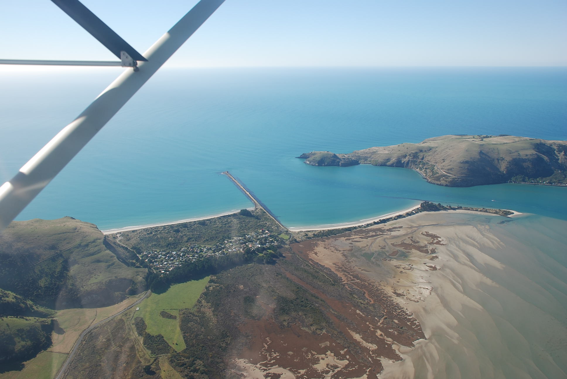
In the 1950s the town became popular as a beach resort and a rural life village due to the construction of a mole, to inhibit the spread of tidal sands into the mouth of the Otago Harbour.
The settlement is located on a sand dune spit at the mouth of the Otago harbour, opposite the end of the Otago peninsular. The main channel of the harbour is kept clear by the Aramoana mole, an artificial breakwater which extends for 1200 metres from Aramoana. The walk along the mole offers great views, lots of birdlife and usually seals sun bathing on the rocks at the end. Across the harbour from the mole is Taiaroa Head and the Royal Albatross Centre, if you have good eyesight or binoculars you can often see the Albatross nesting and flying.
The beach and sand dunes to the east are known as Shelly Beach. The beach to the west is known as Big Beach and extends for over two kilometers.
To the southwestern side of the township extend expansive salty mudflats from the head of the Aramoana Spit around the habourside to the township of Te Ngaru. This area is a protected Wildlife Sanctuary, which hosts a range of plant and animal life, both native and exotic. There is a 20 minute boardwalk across the salt marshes and native dunes.
How to get there – From Dunedin head to Port Chalmers then on to Aromoana, a very pleasant drive around the bays of the Otago Harbour.


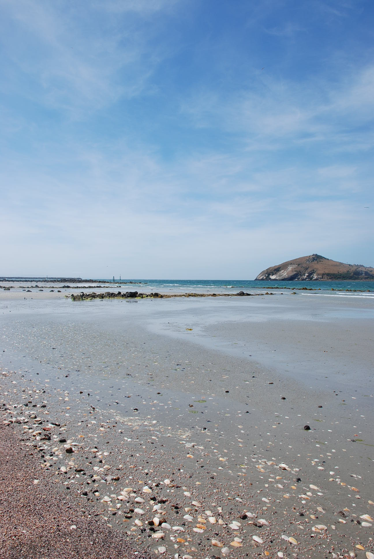
The end of the mole is a good spot to watch the cruise ships come and go.


