You’ve probably guessed by now that the Catlins is one of our favourite places to visit. Turn off at Owaka on the Pounawea road and explore the Catlins Lake, Jack’s Bay and Catlins heads – you certainly won’t be disappointed.
The Catlins river flows southeastward through the Catlins, it’s total length is 42 kilometres (26 mi), and it flows into the Pacific ocean at Pounawea. The upper estuary is called Catlins Lake, and its lower estuary is shared with the Owaka River. At low tide, many migratory and resident wading birds can be seen in this large tidal lake. There are pleasant picnic areas on both sides of the lake and fishing is possible along the road on the southern side of the lake, that leads to Jack’s Bay and the Catlins Heads (see other posts). The area is peaceful and quiet with lots of bird life and sea lions (check out my sea lions of Jacks Bay posts).
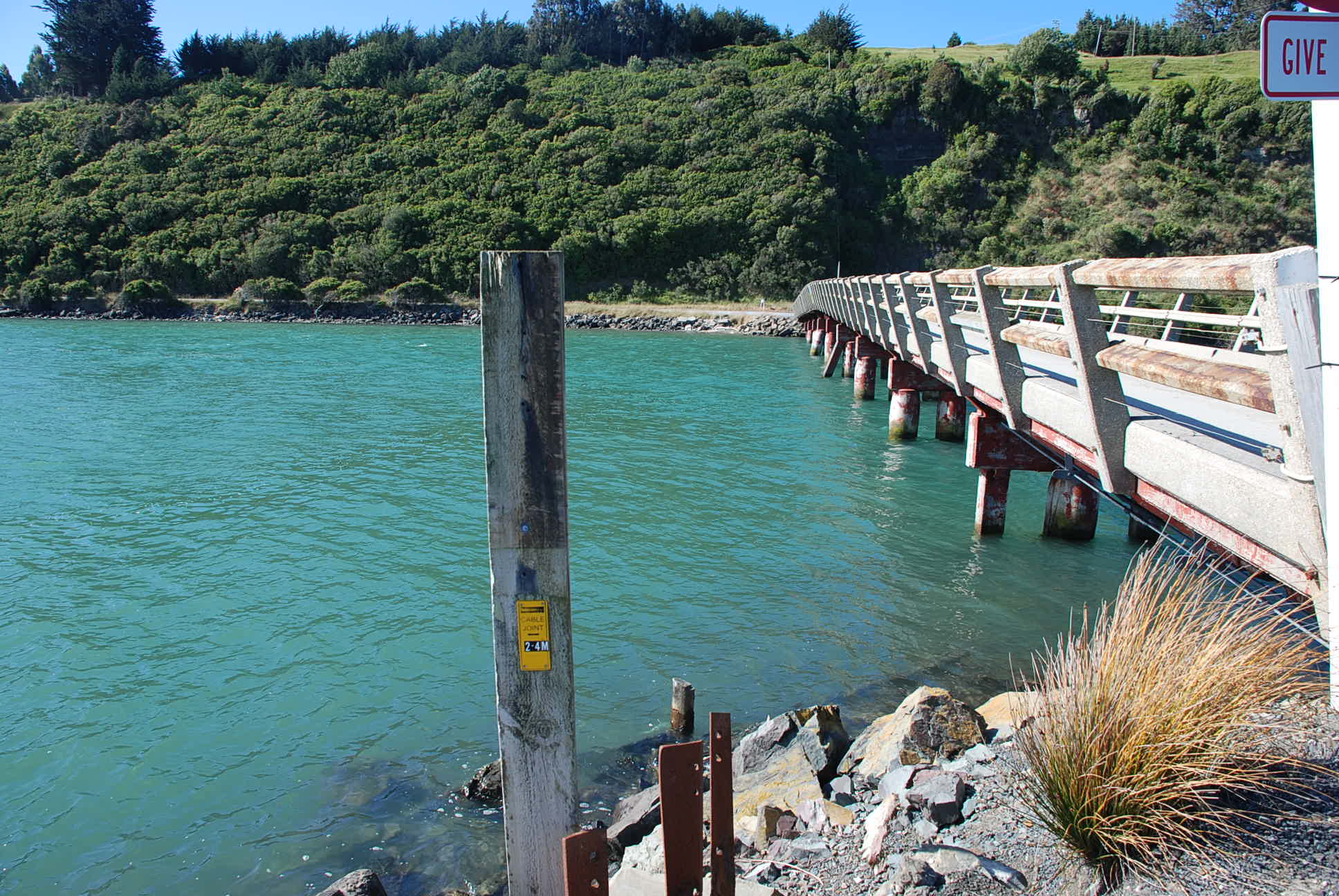 The Hina Hina Bridge was built in 1923. Local settlers gave time, labour and money in order to achieve the building of the bridge. This cut the traveling time down considerably from jacks bay and local farms to Owaka and the main road North.
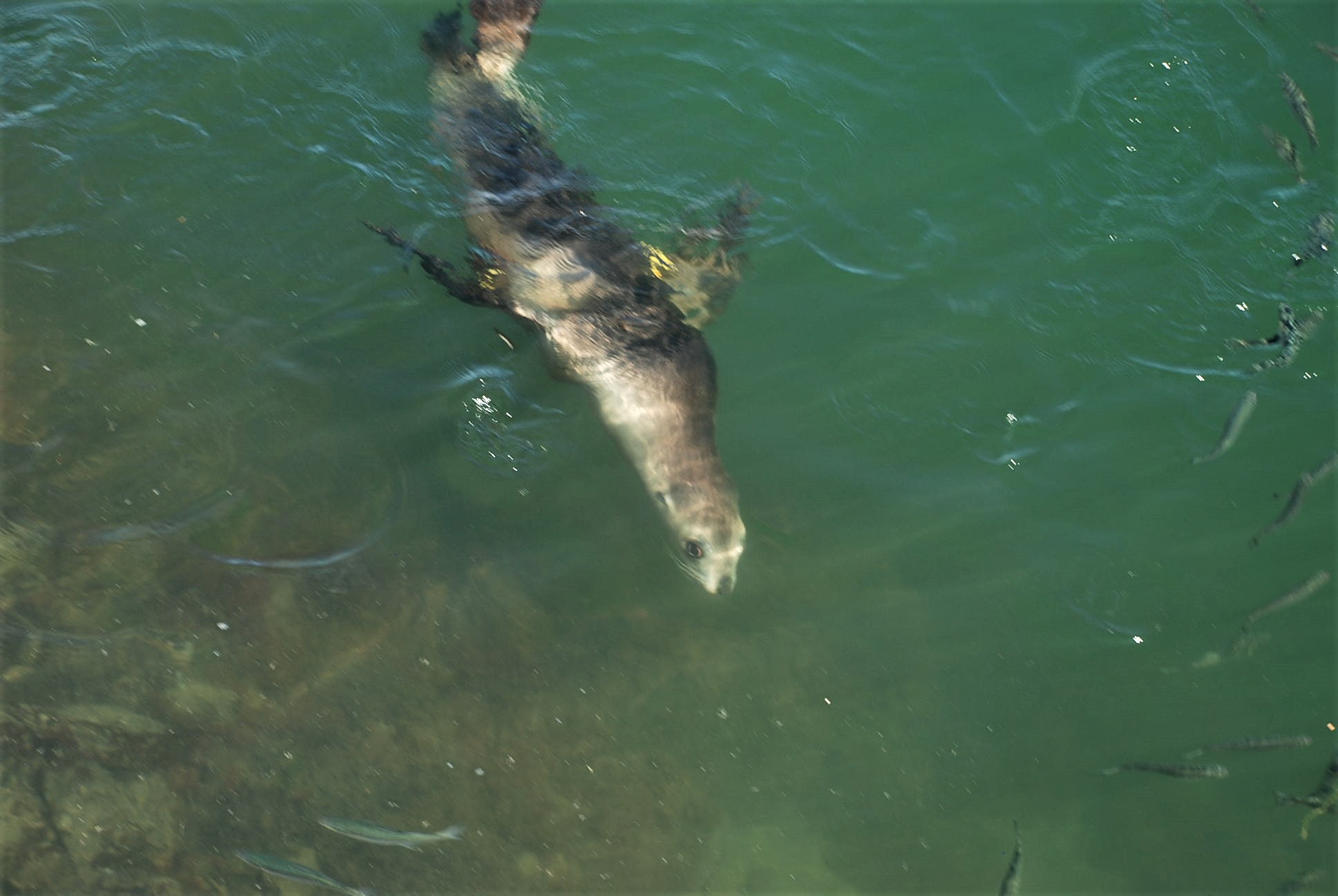
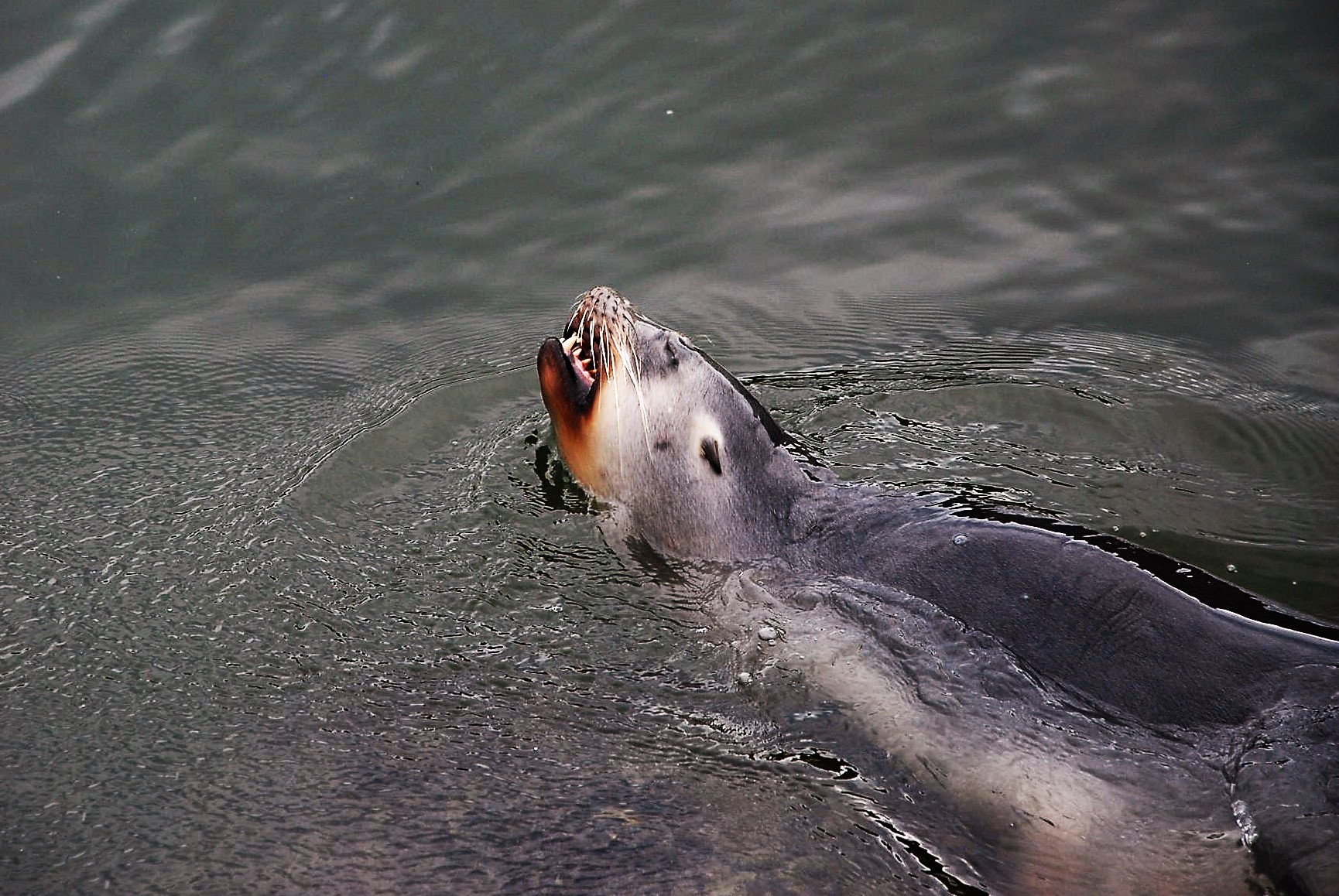
A young sea-lion playing and catching fish under the bridge.
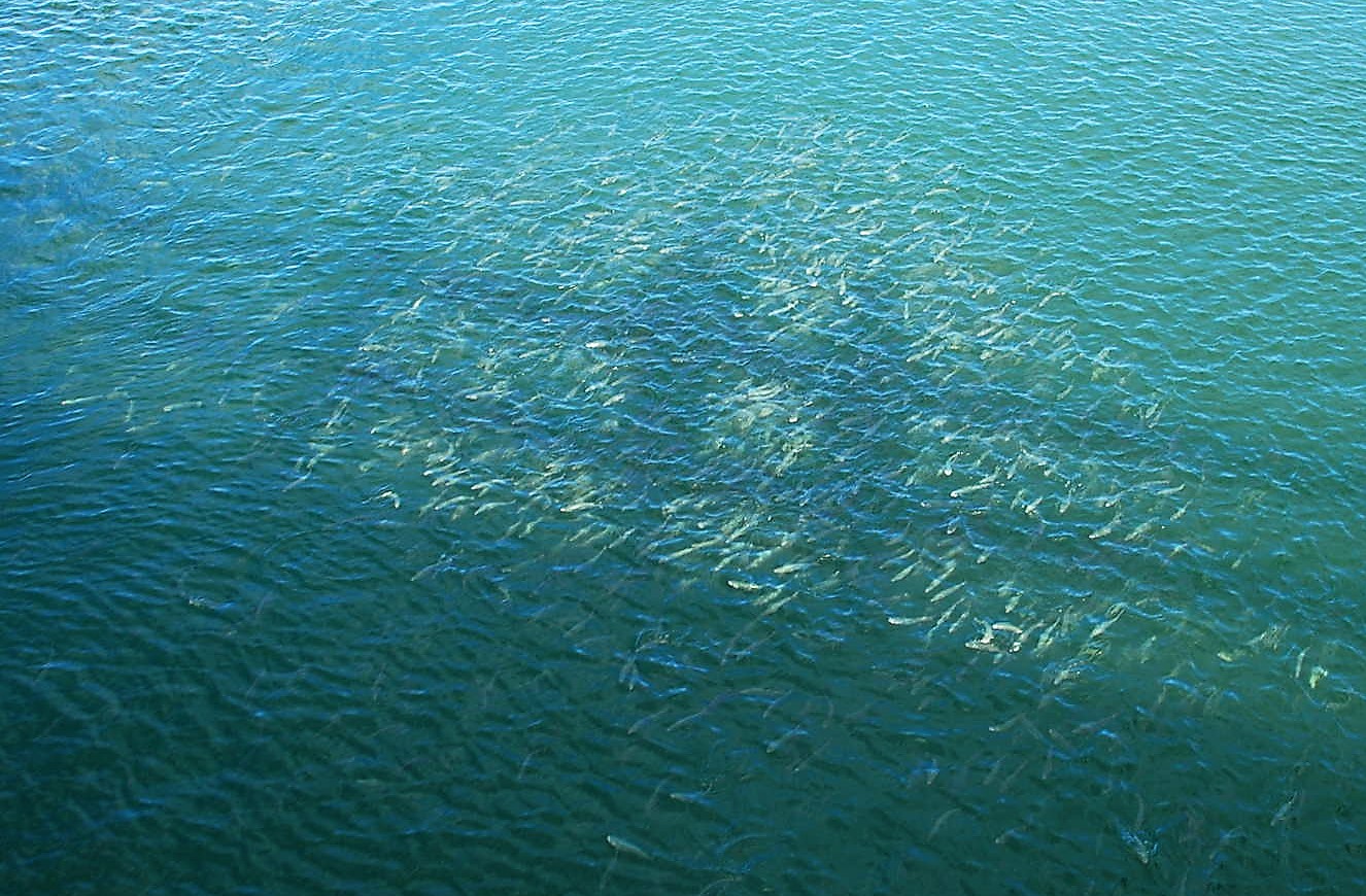 Thousands of small fish swimming under the bridge
 On another day we saw two young female sea lions playing in the same spot. They are beautiful but look at the teeth, not sure I would want to go swimming with her.
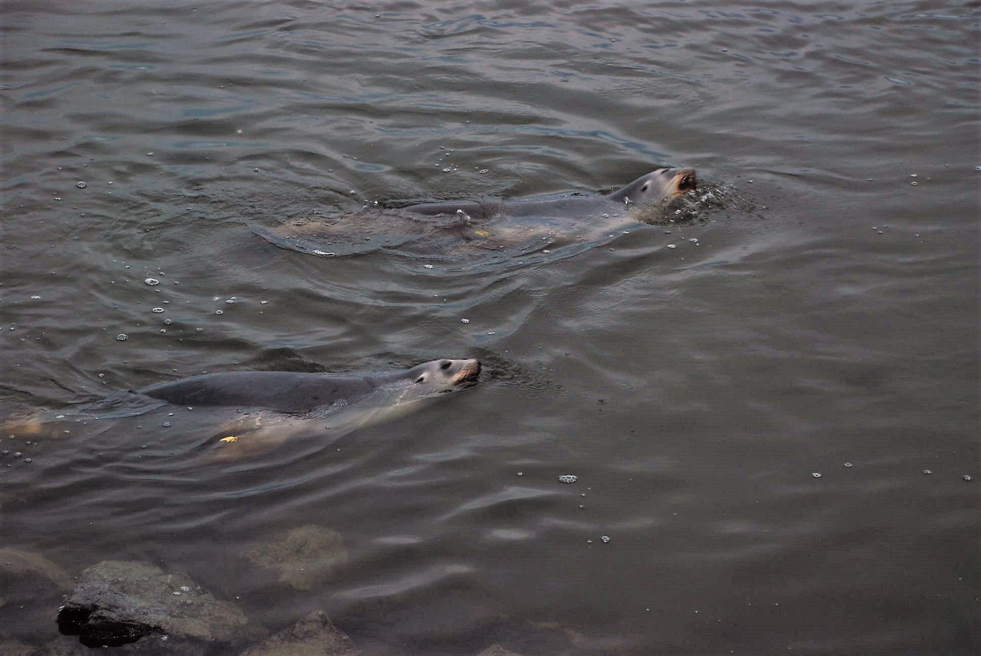 These two young sea lions playing under the bridge but I just wasn’t quick enough to catch them jumping out of the water.
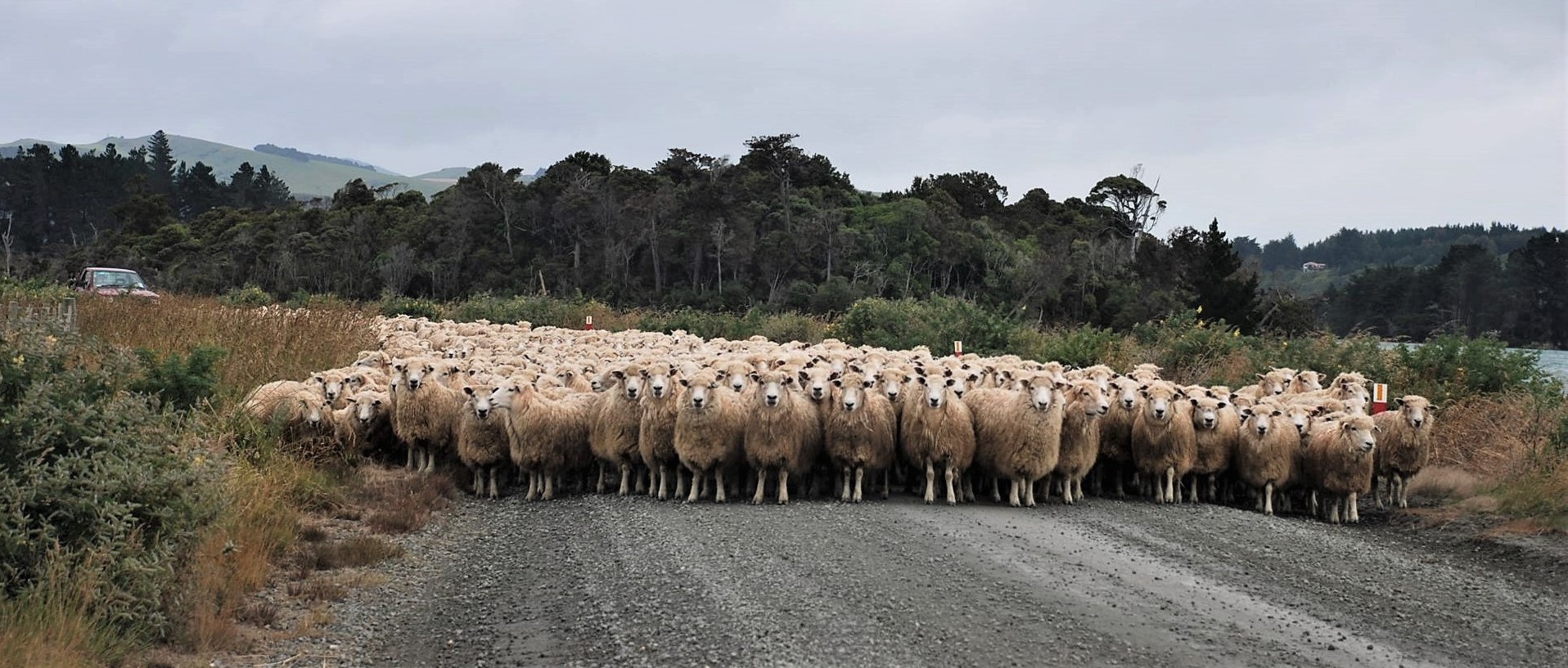 Sheep being moved on the road to the Catlins Heads – see post. From what I can find out I’m pretty sure the bird below is a Cattle egret but happy to be proved wrong by all you bird watchers out there. It was close to a paddock of cattle if that makes any difference!!!
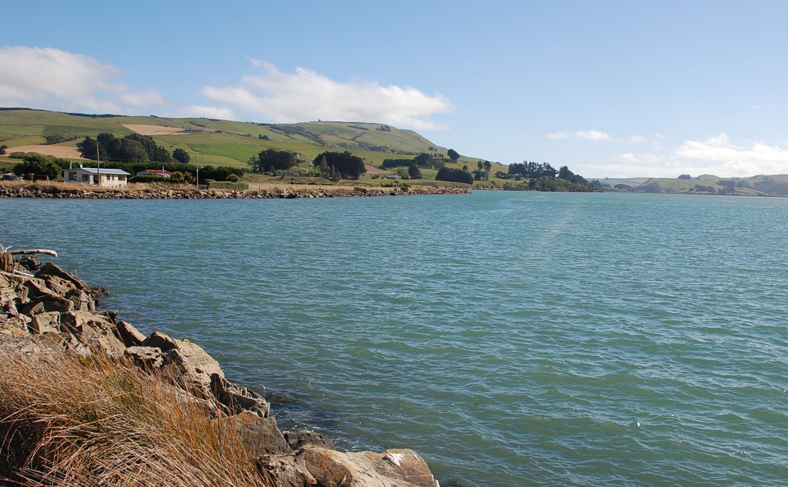
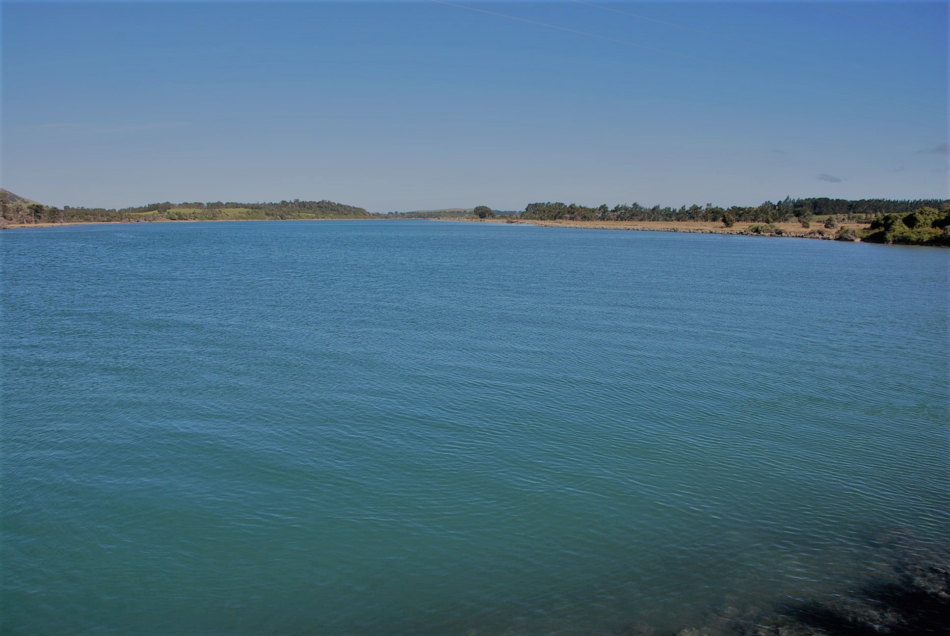 Looking from the Hina Hina bridge towards the Owaka Yacht club
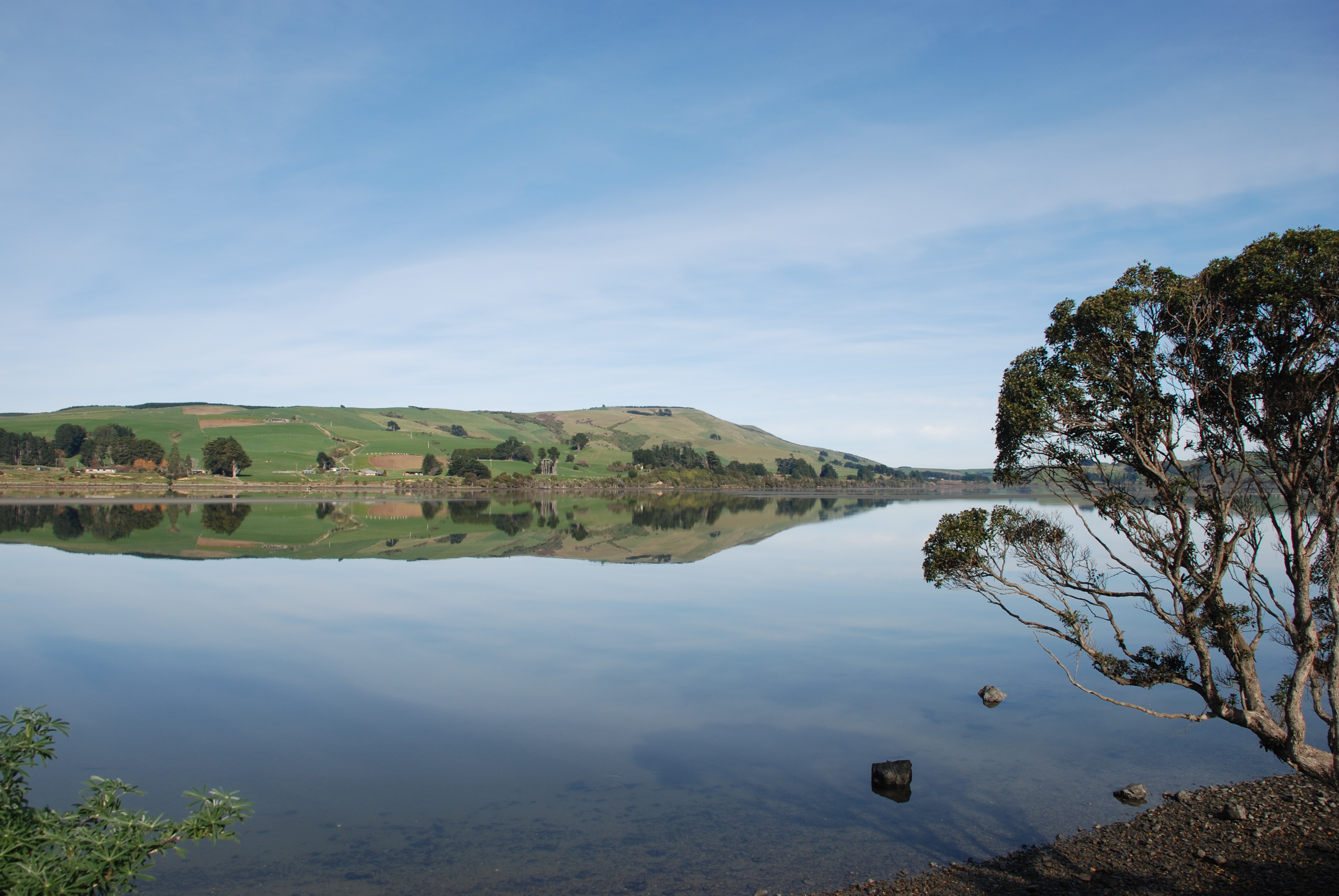
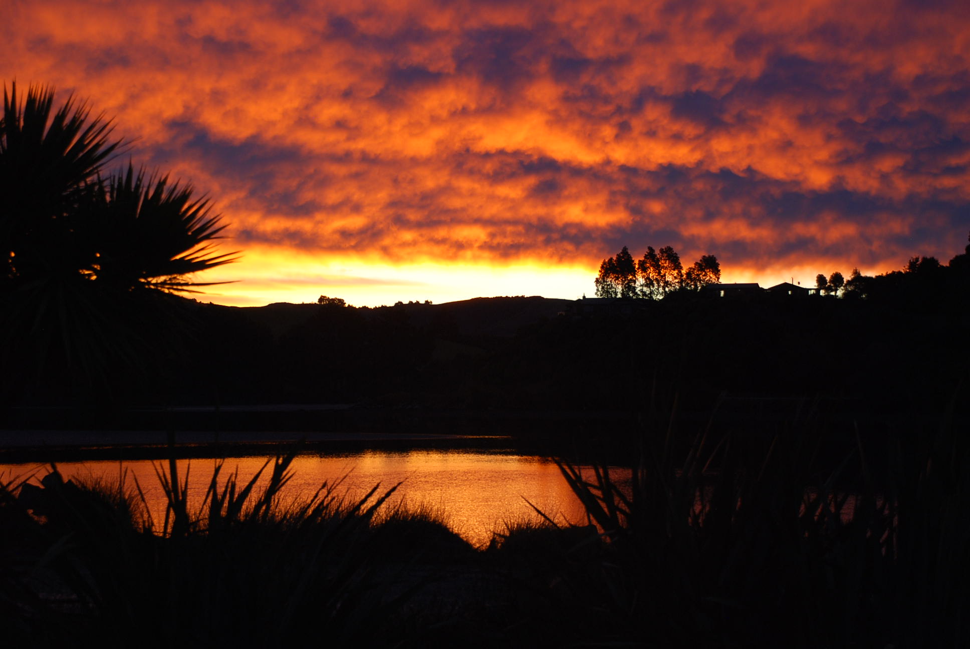
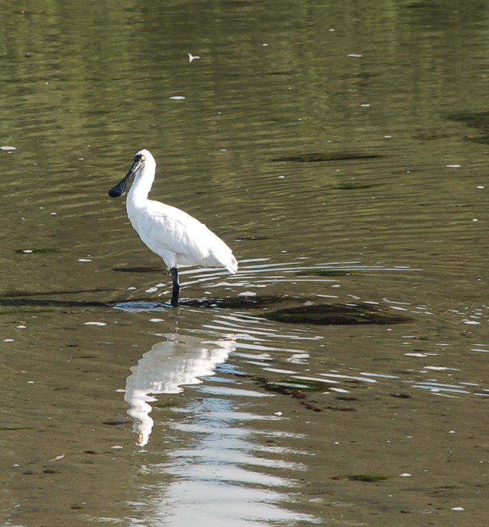
 Beautiful sunsets over the Catlins Lake – such a peaceful spot! Below a Spoon Bill wading in the water at low tide.
From the Hina Hina bridge looking towards Ratanui
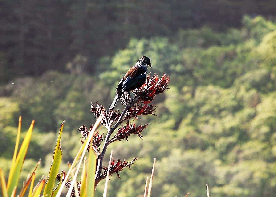 Being a honeyeater the Tui feeds mainly on nectar from flowers of native plants.
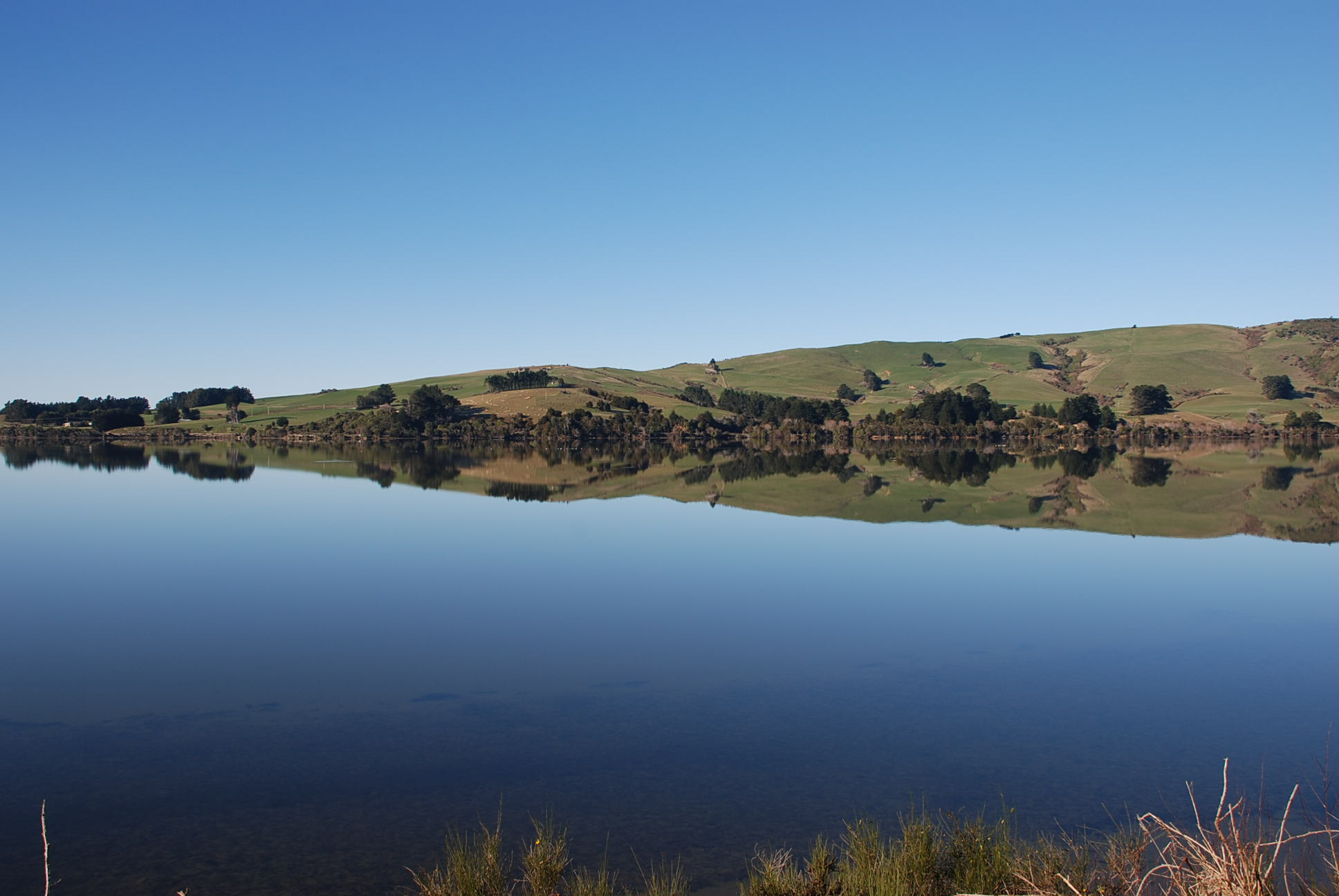
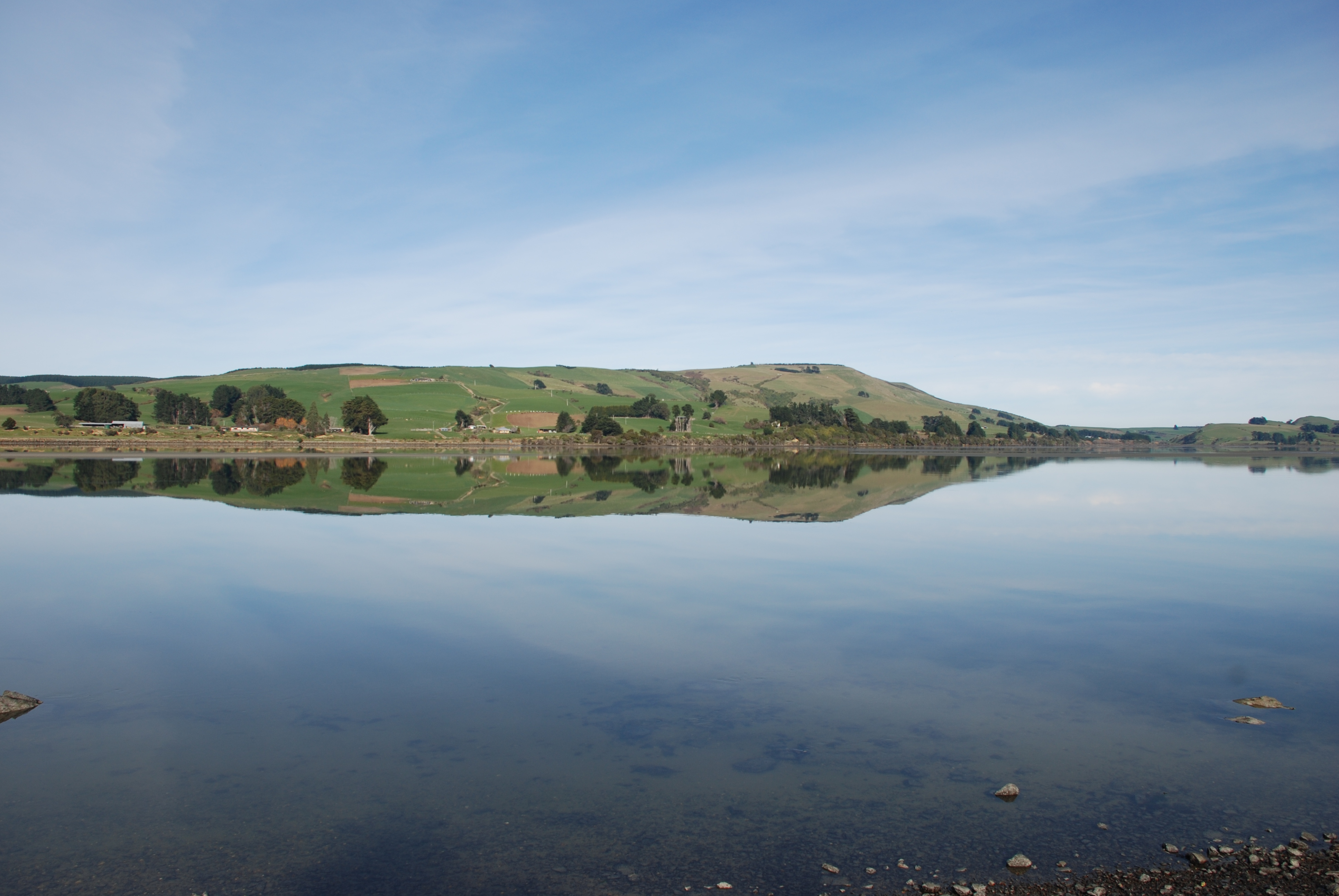
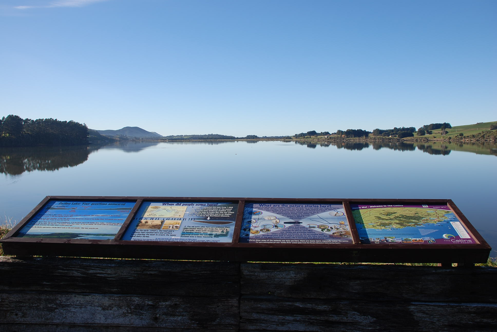 From the lookout on the main road – It is not really a lake but a saltwater tidal estuary, it fills and empties twice a day. At low tide, apart from the thread of the Catilins river there is almost no water, at high tide it can be over two metres.
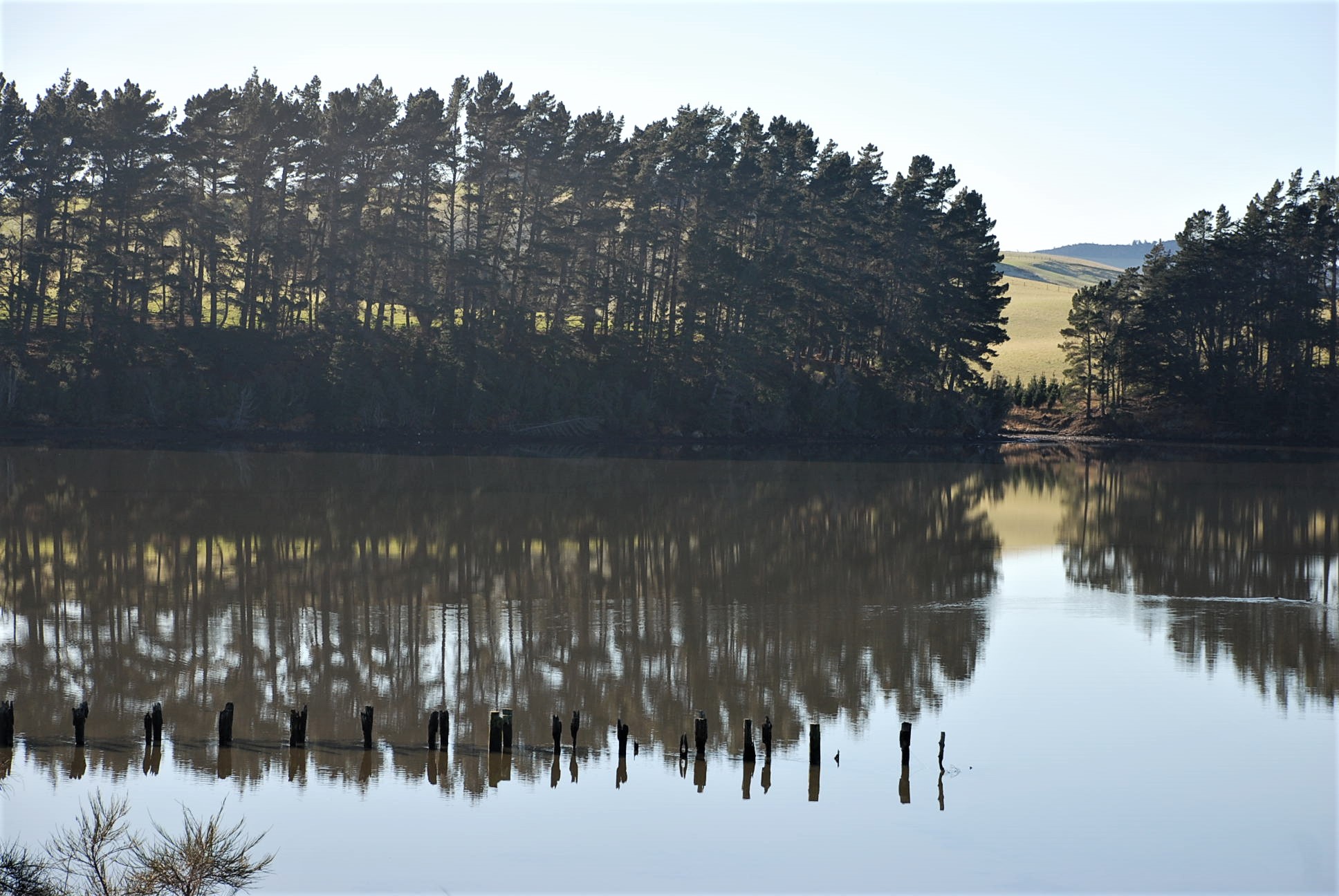 The old jetty piles are evidence that ships loaded timber from here in the 1870’s. Seven sawmills, some with tramways,operated around the lake. In 1900 the road was built and settlers cleared the bush for farms. More photos below from the lookout.