On our recent holiday we visited Denniston again – Last time we were here it was very interesting but a bit un-loved. The department of Conservation along with other groups have done an amazing job of preservation and providing information for visitors to this historic area.
Denniston was certainly one of New Zealand’s most isolated and difficult mining towns to live in. The current road was not built until 1902, with the first access being either up a steep pack track or in a coal wagon up the Incline.
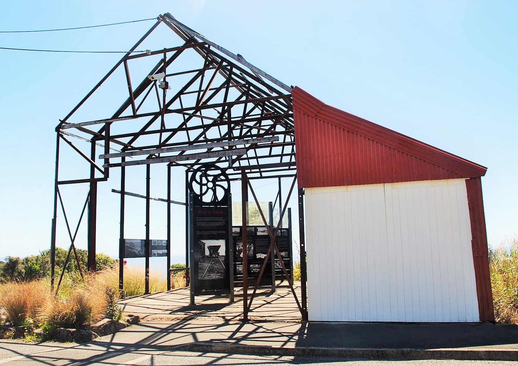 I really like the way they have used the old building and made this stunning structure from it, housing the amazing Interpretive boards showing wonderful photos and lots of information.
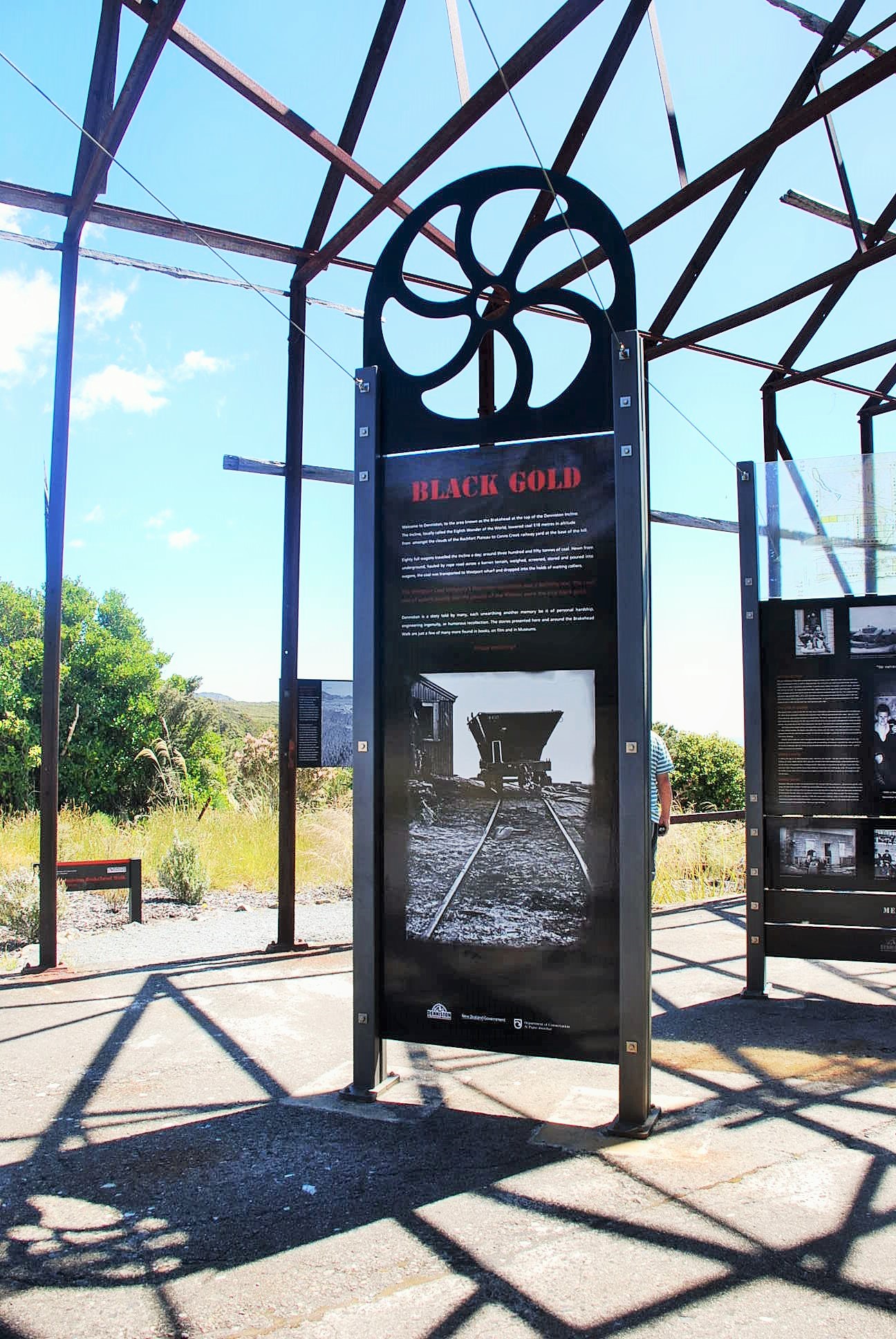
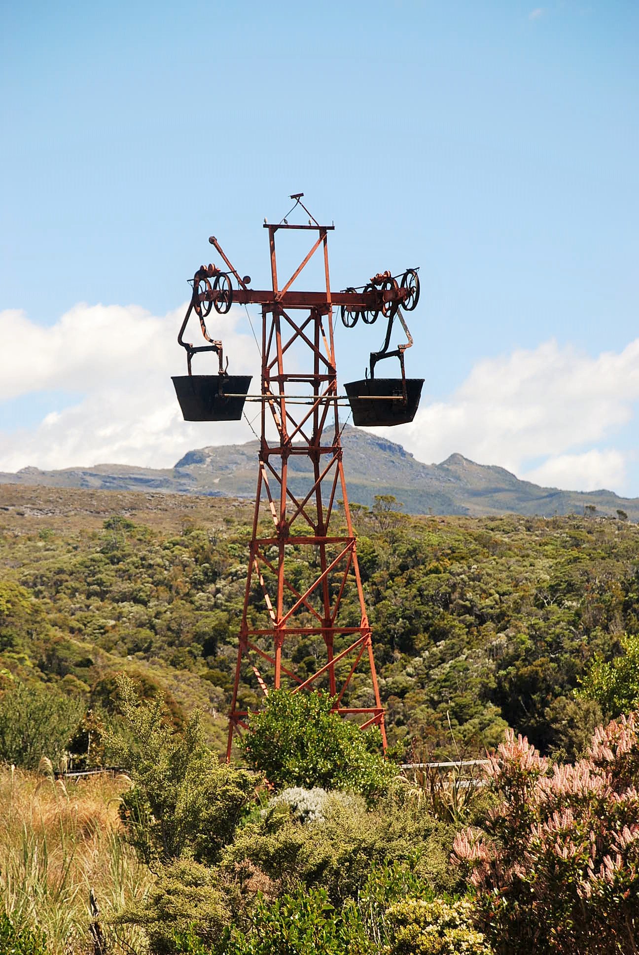 With a series of pylons like this, coal from other mines was transported to the top of the incline.
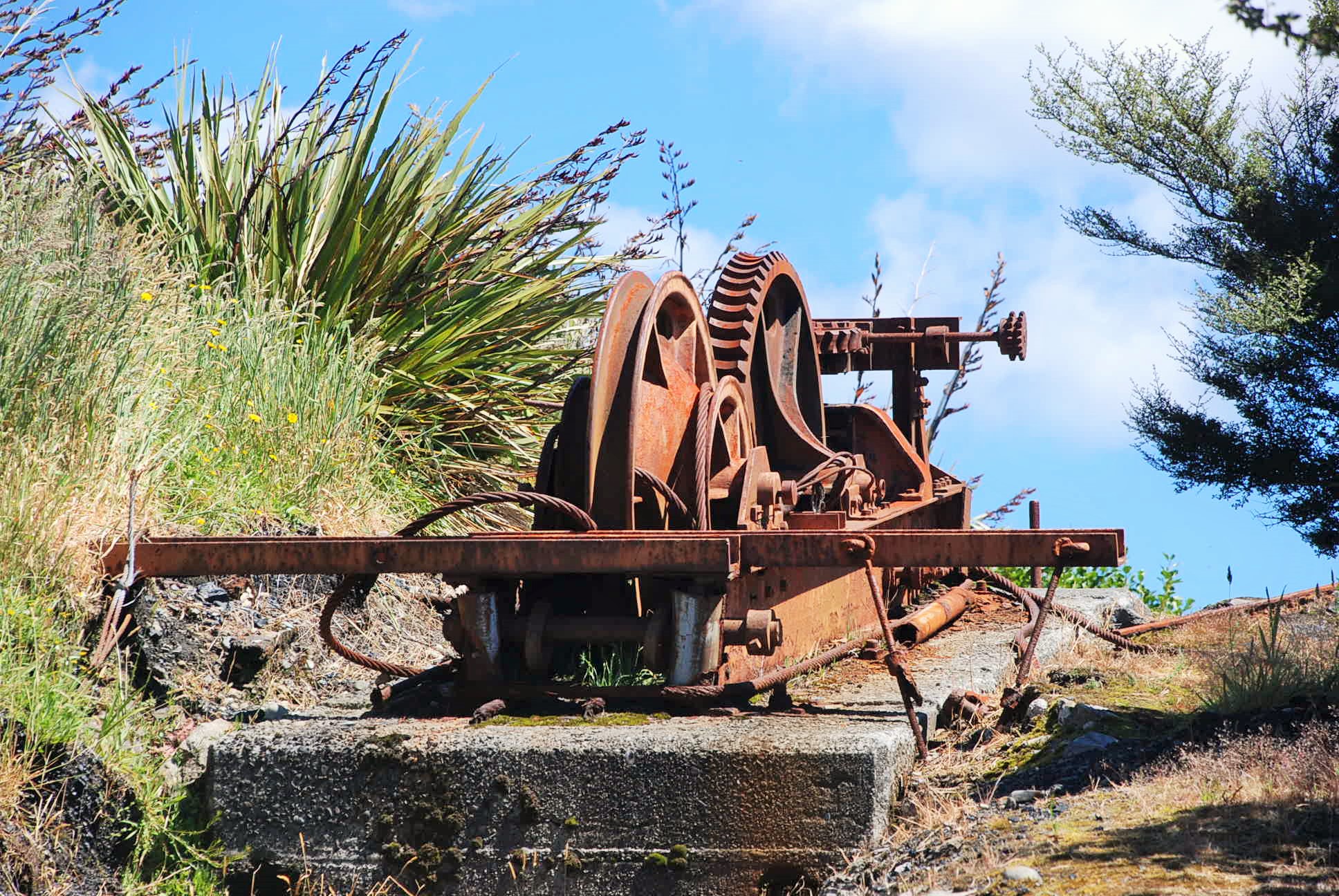 Relics such as this are under constant threat from natural decay, vegetation regrowth and negligent visitors. Doc and local interest group Friends of the Hill work closely together to lessen the impact and ensure the history of Denniston is preserved for all to appreciate… They are doing a great job!
 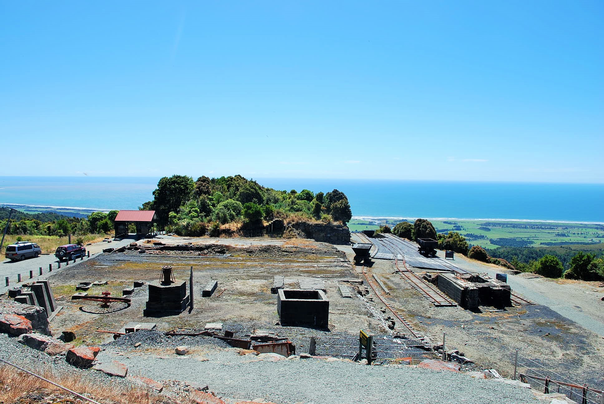 Although many of the industrial and domestic buildings have long gone, the remnants of the town and the mine remain as a reminder of the life on the The Hill.
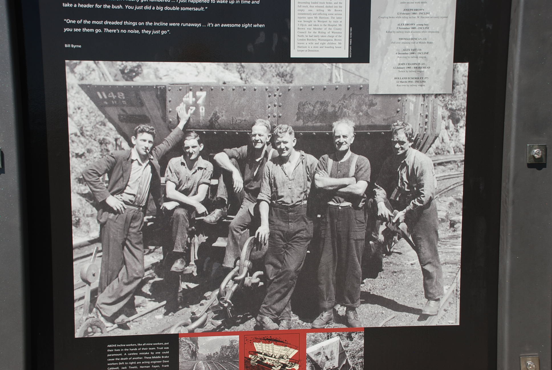
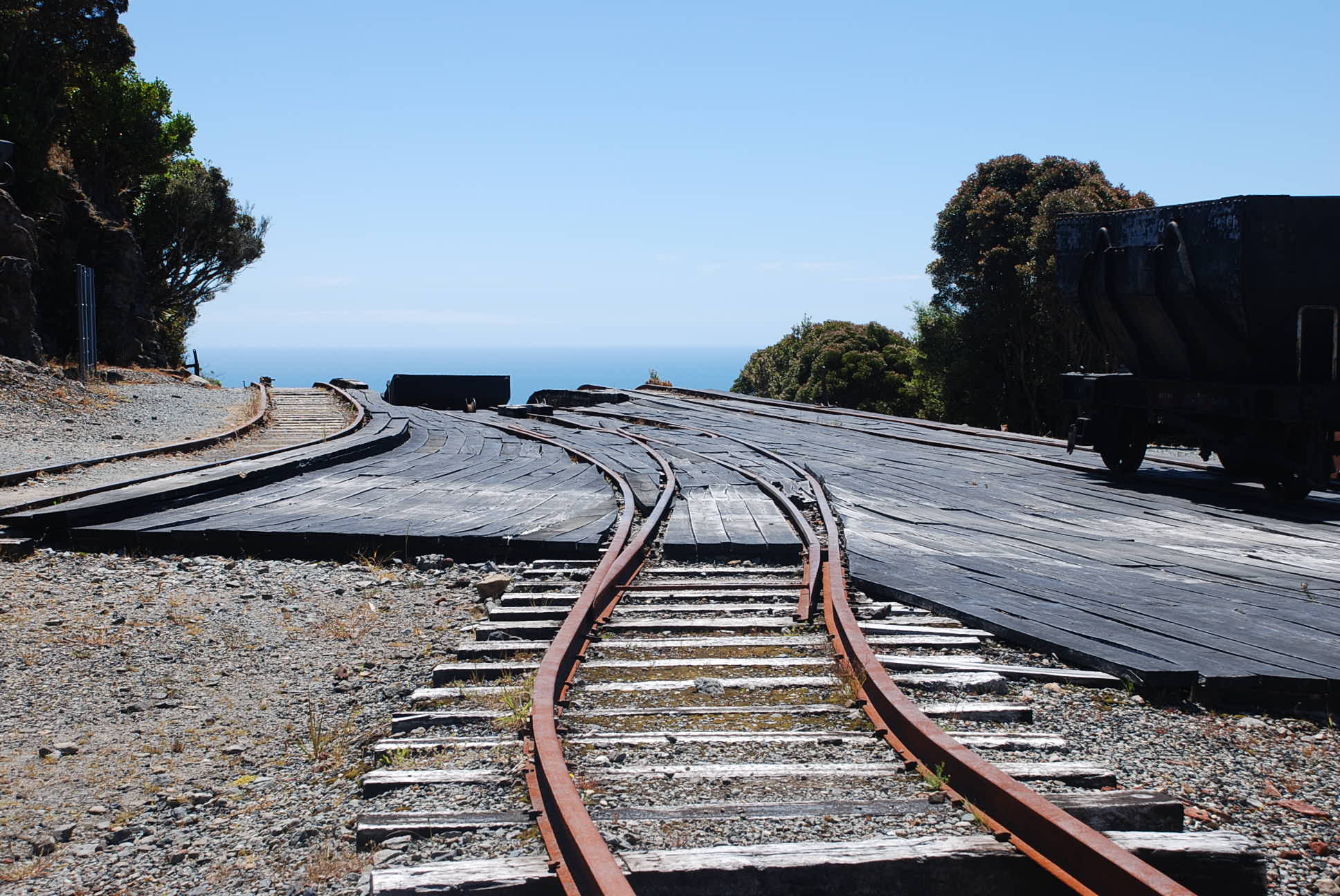
 The top of the incline – The self-acting incline was powered by gravity, with a loaded railways wagon of around 12 tonne plunging down the incline. The incline worked by gravity, the descending loaded wagons pulled up the empty wagons.

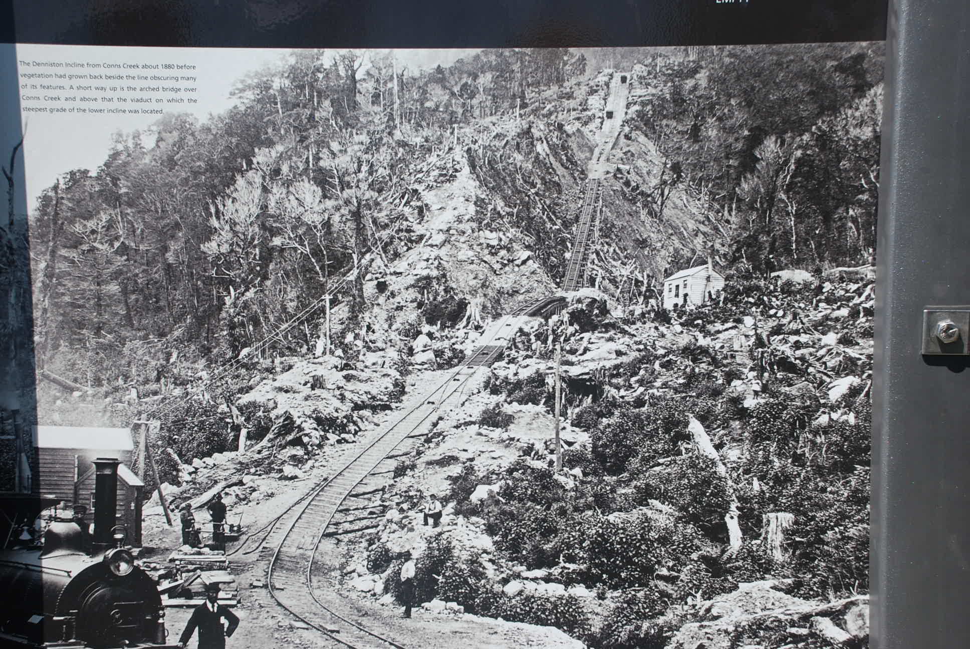 A photo of the incline from the bottom at Conns creek.
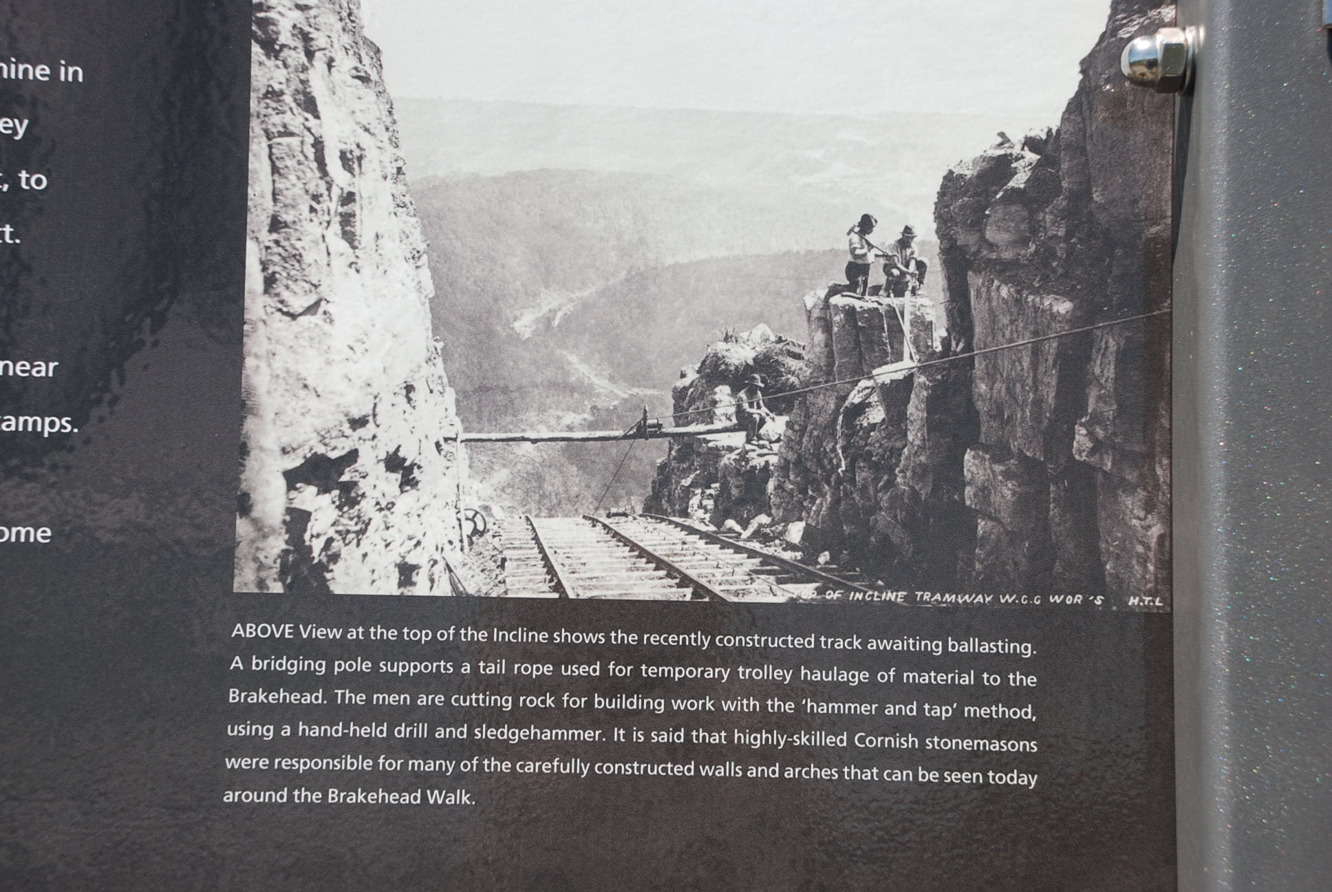
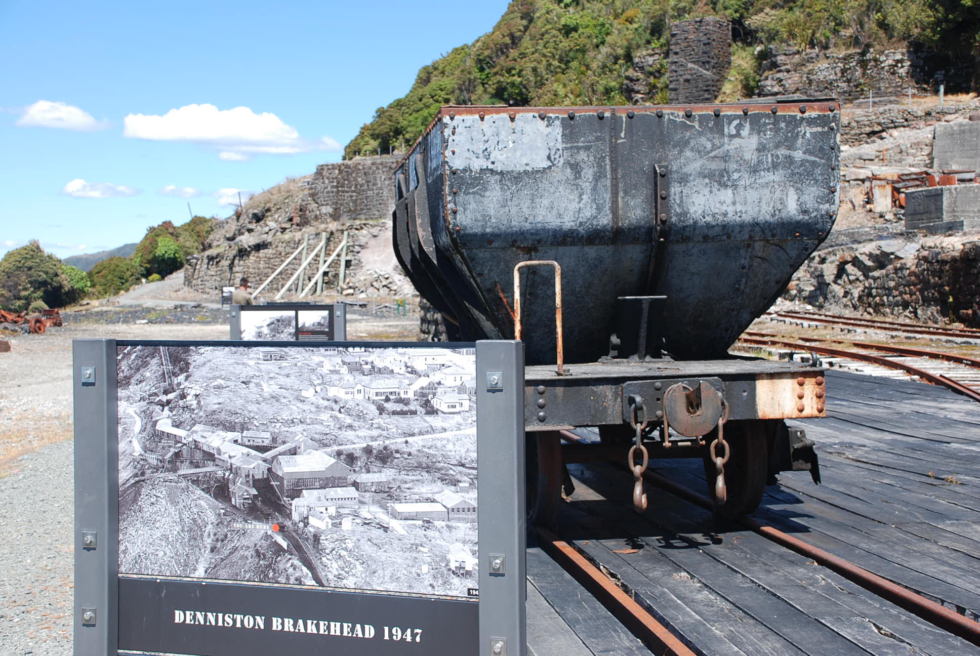 The Brakehead was so-named because of the huge water-fed brakes there, which slowed (not always successfully) the full coal wagons which hurtled down the 1:34 gradient incline to Middle Brake – and then down the second part of the Incline to the valley floor at Conns Creek.
 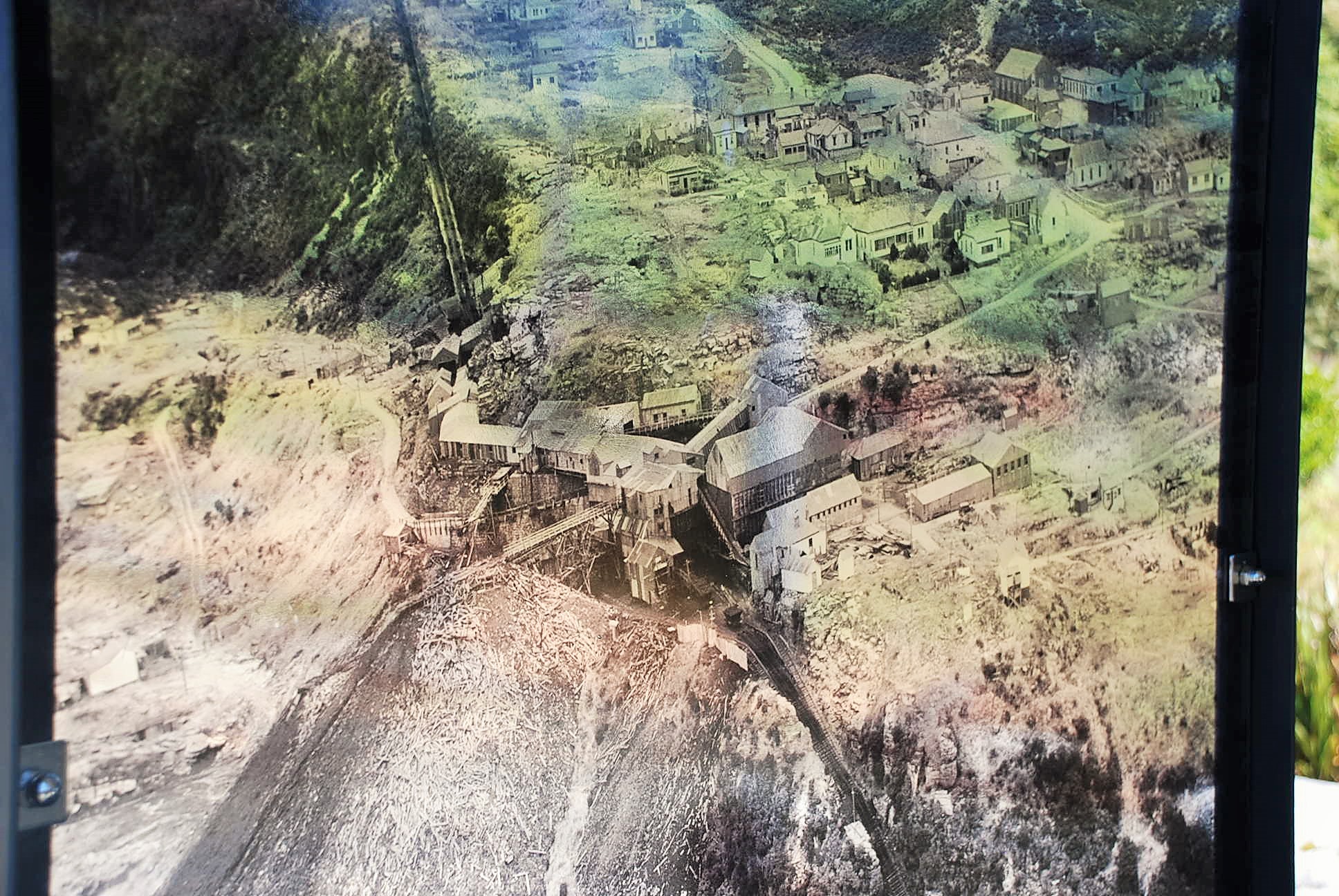 This photo was etched onto glass or perspex – it shows the brakehead and top of the incline.
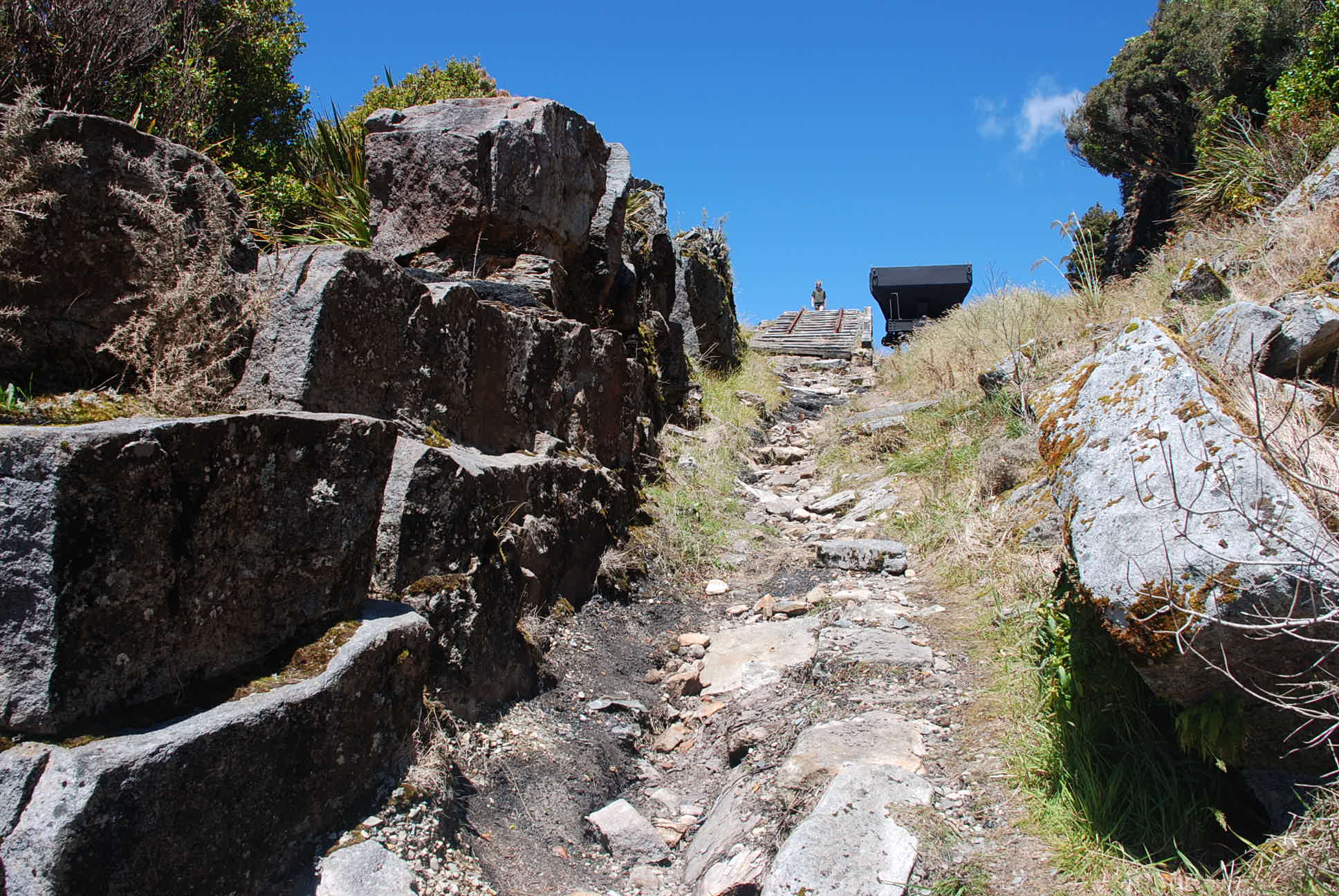 Looking up the last part of the incline.
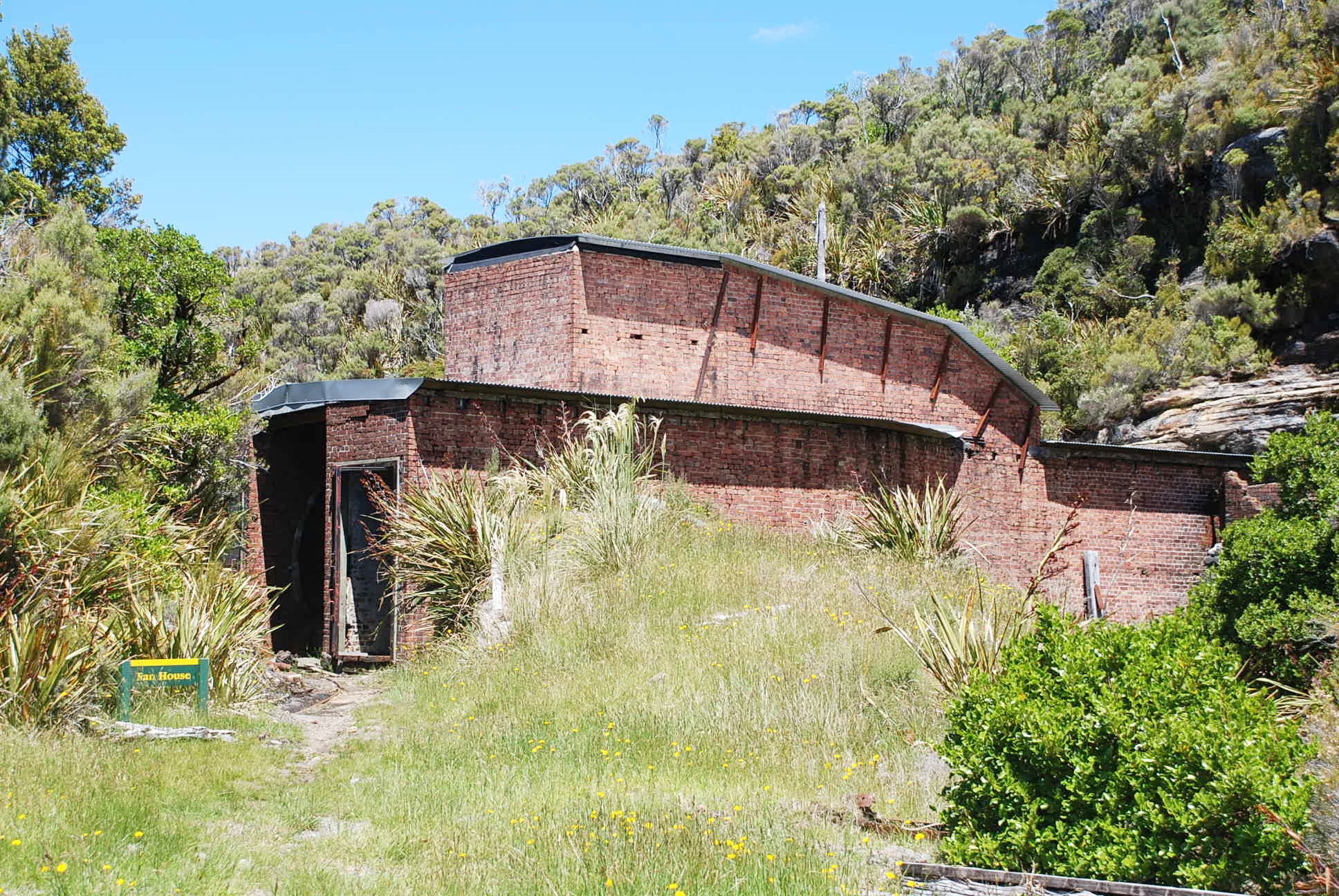
 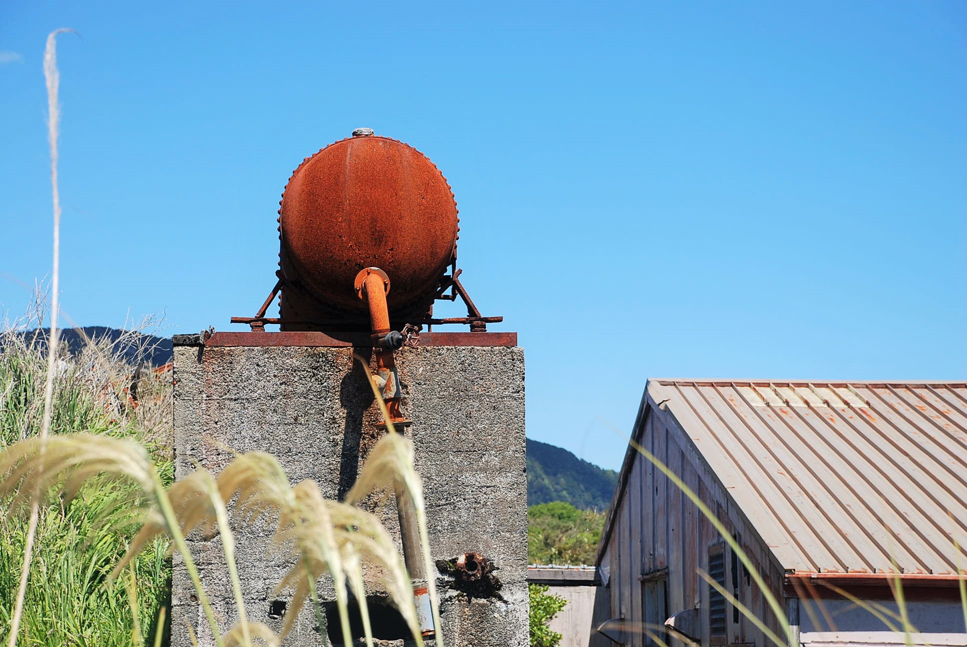 Burnetts face bath house
 Burnetts face bath house
 There is and interesting walk to the Coalbrookdale fan house which takes about an hour return.
Part of the Coalbrookdale settlement was known as Poverty Point. This was where the single men lived in manuka and canvas shelters because of the scarcity of building materials. Most of all however because the mine entrance was just across the road, saving a long walk to work in sometimes atrocious weather conditions.
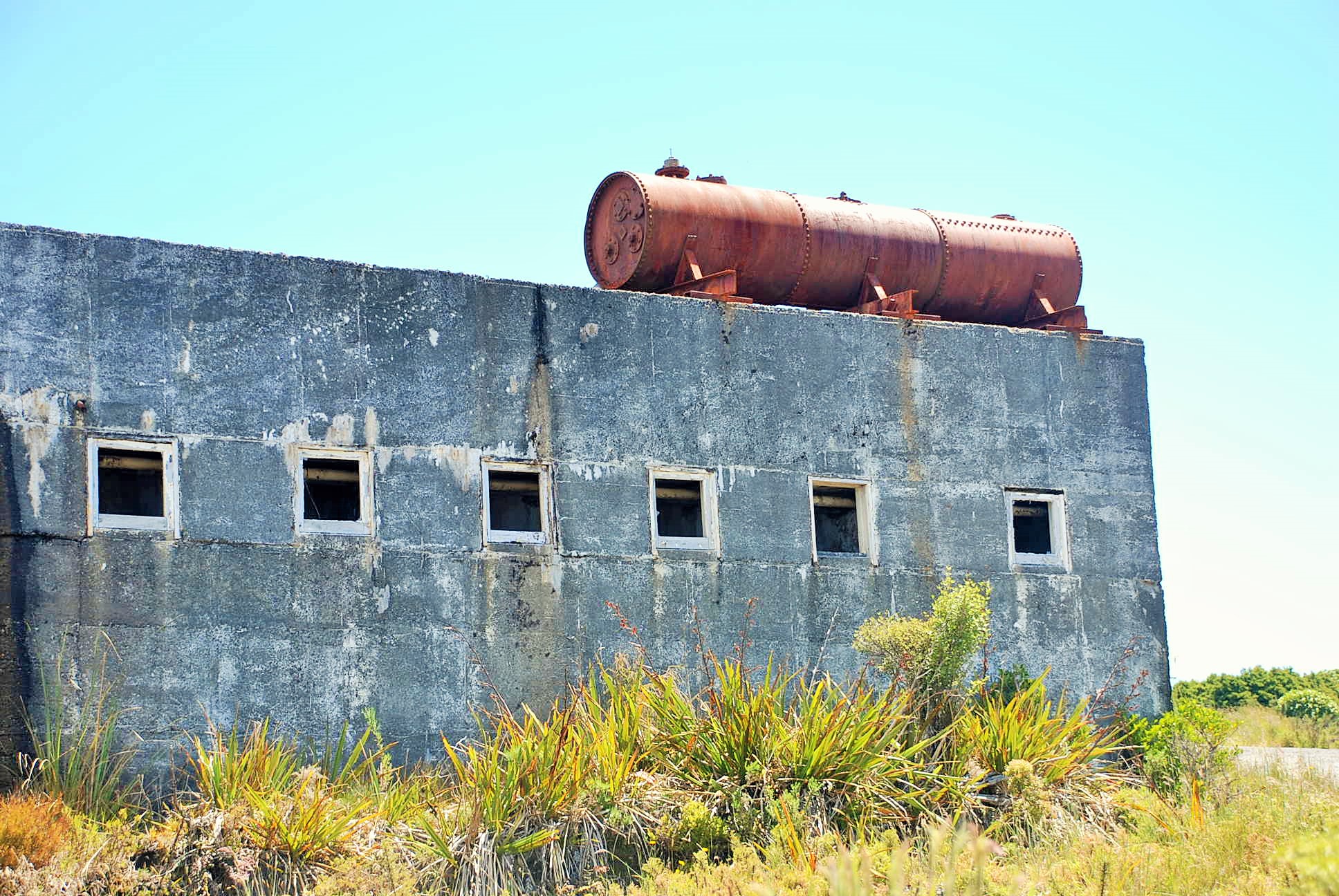
 The fan house – supplied fresh air to the mines,
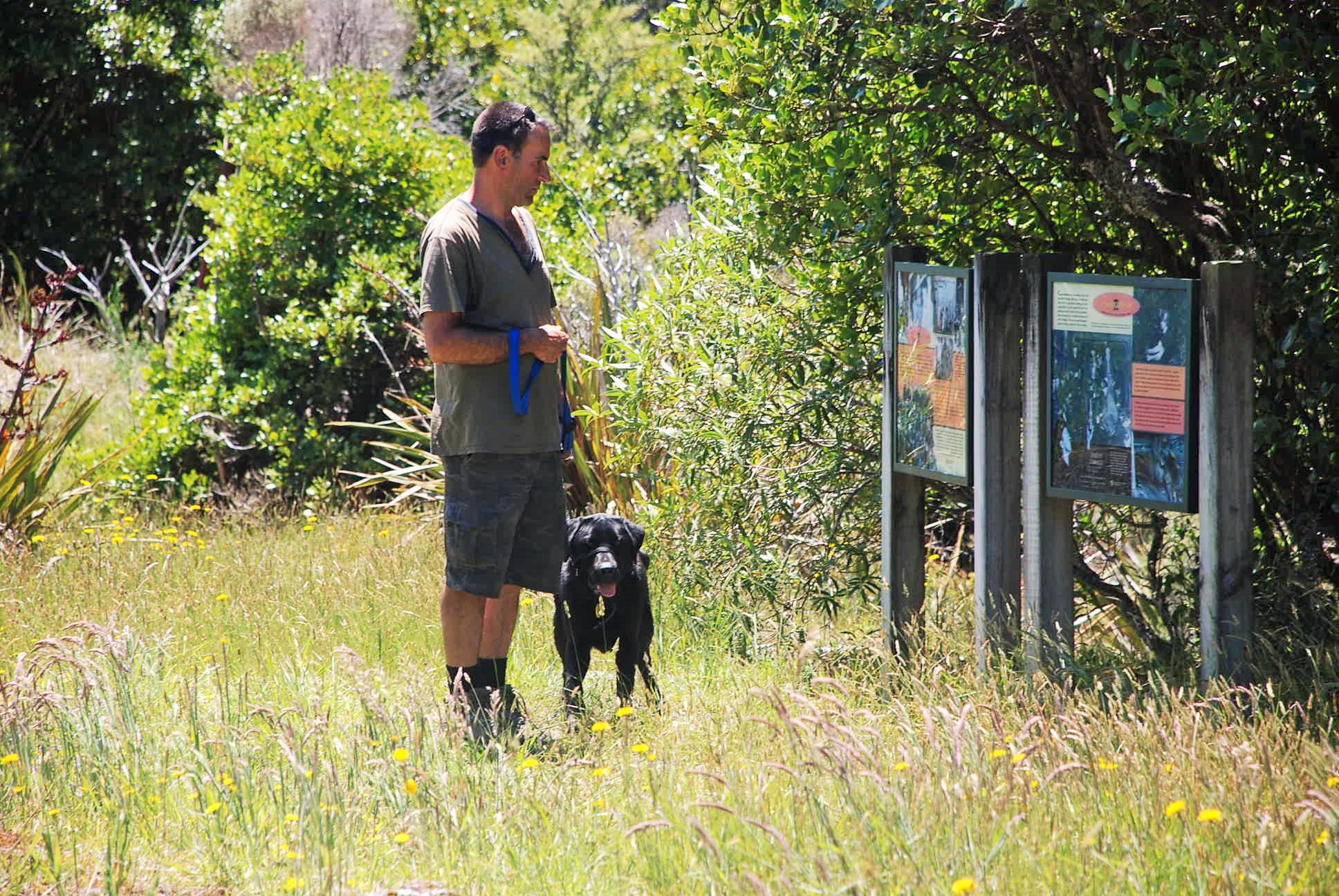 Coalbrookdale was where Julius Haast, a German geologist working for the Nelson Provincial Council, discovered a huge seam of coal eight feet two inches thick. With him was James Burnett, an English coalmine engineer and Maori guides. Burnett estimated in 1862 that the Coalbrookdale area alone held over 72 million tons of extractable coal…and he was the visionary who suggested an incline rail or cableway operated by gravity, braked by water, with loaded trucks hauling the empty ones back up again.
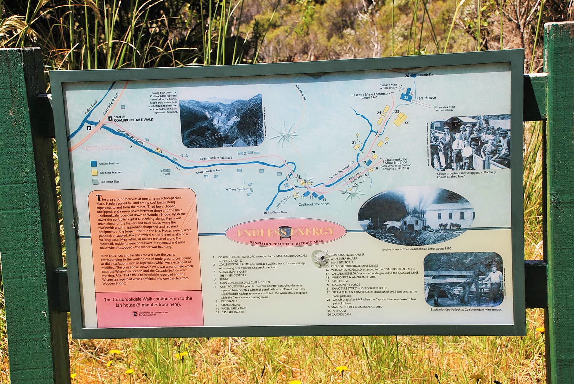 A map of the area and old photos
 The old photos and stories are wonderful – it really must have been a hard life!


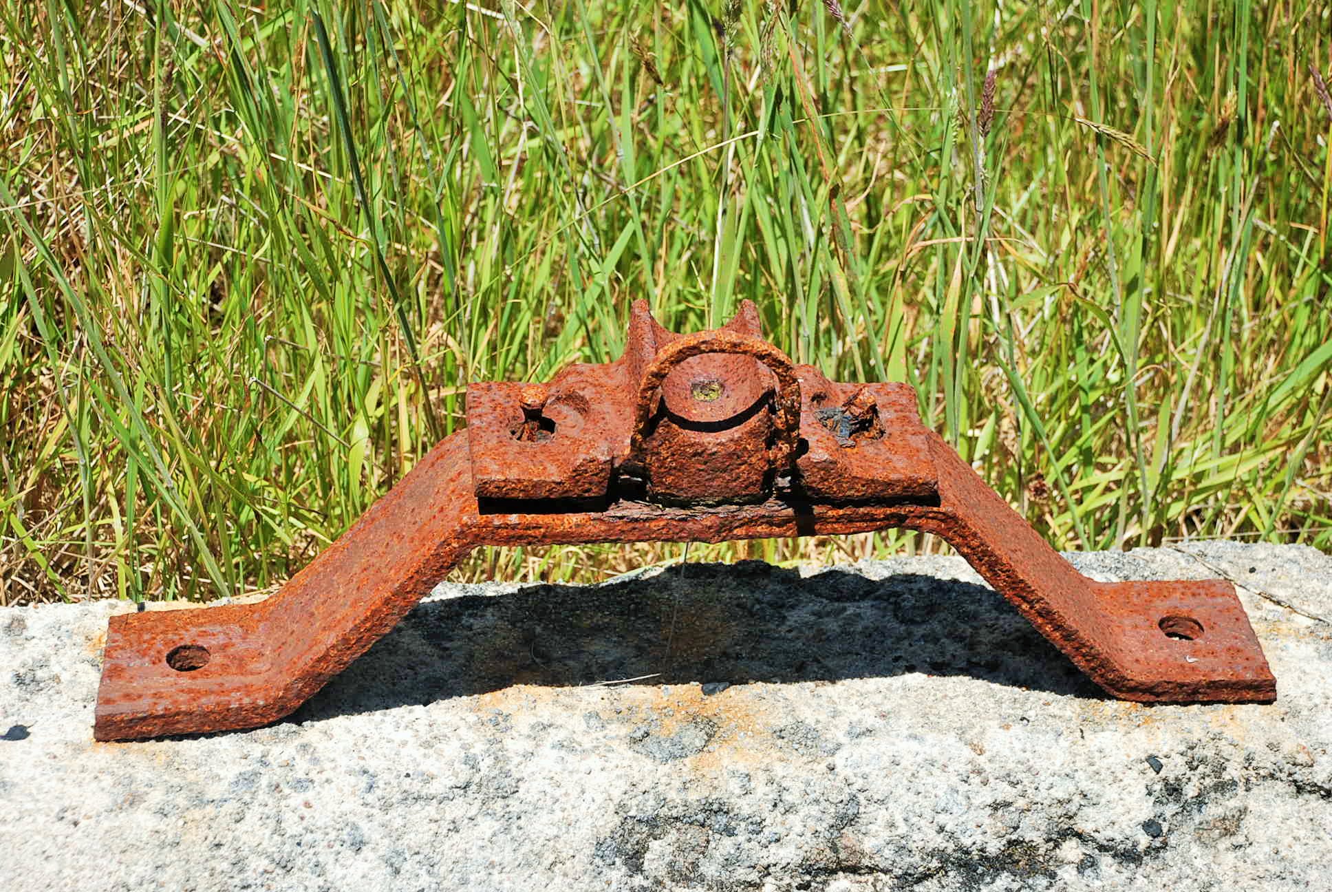
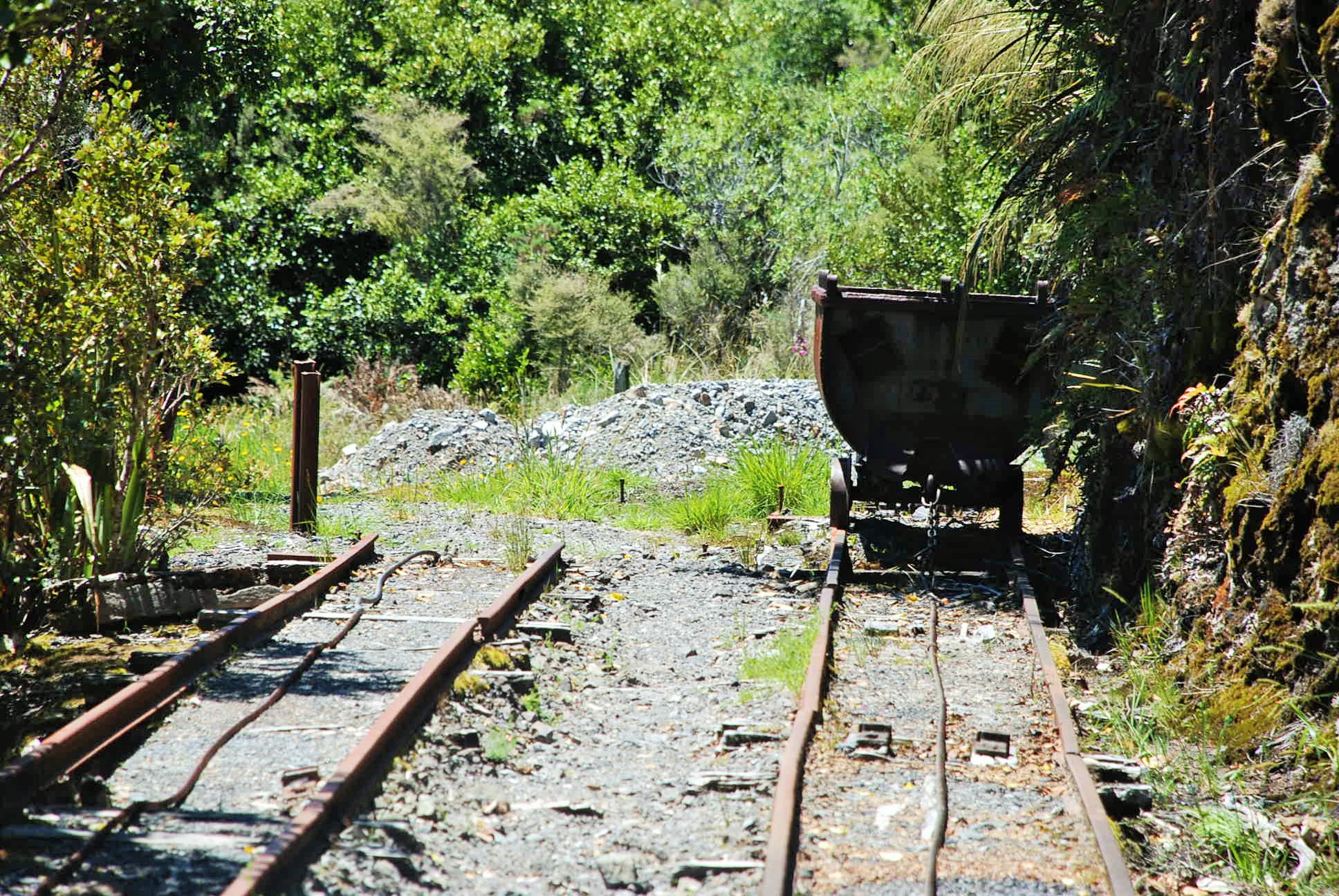 There are lots of bolts, wire and rusting equipment along the Coalbrookdale walk. It’s good to see that people haven’t removed these things as it all gives you a sense of what it must have been like to work there.
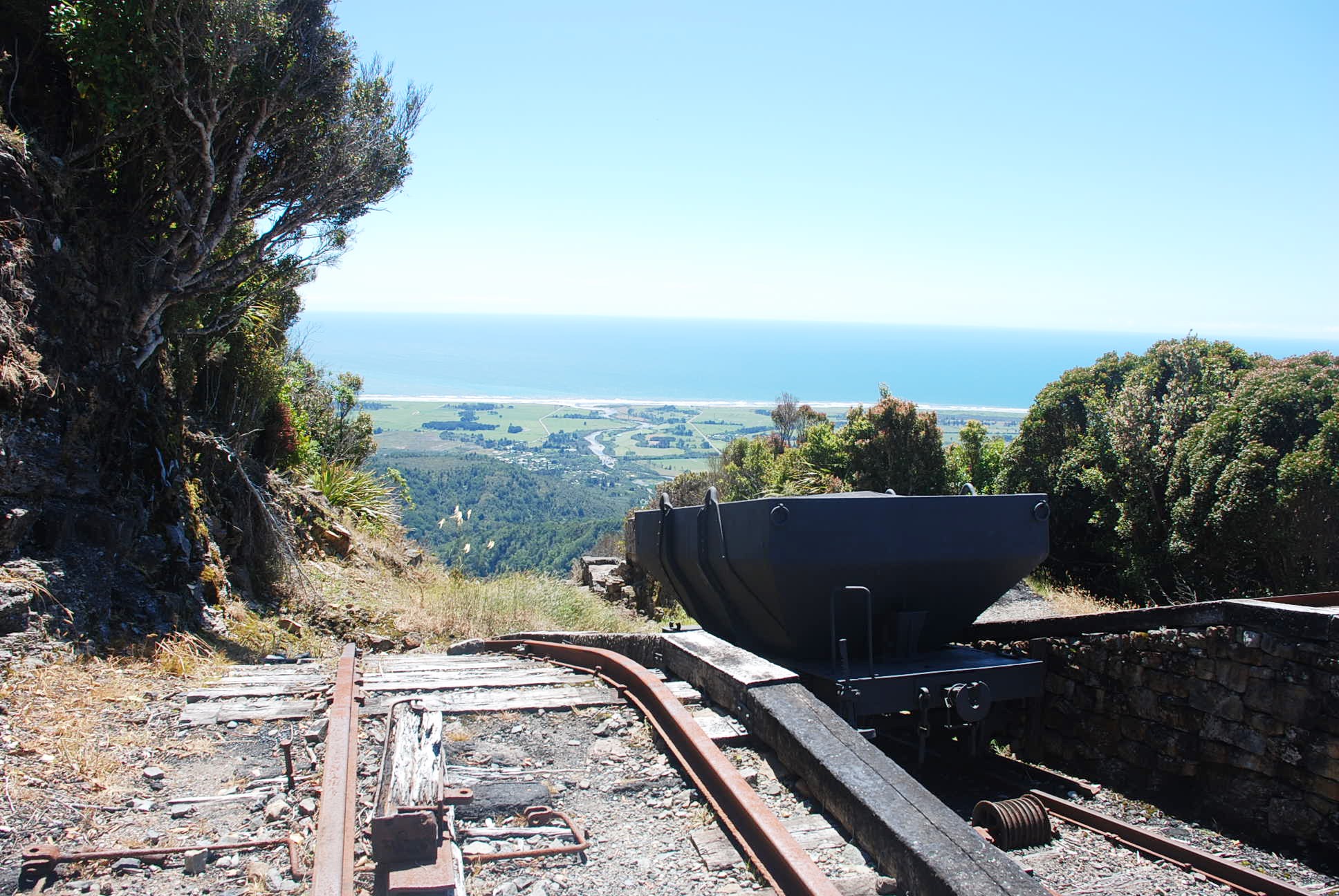
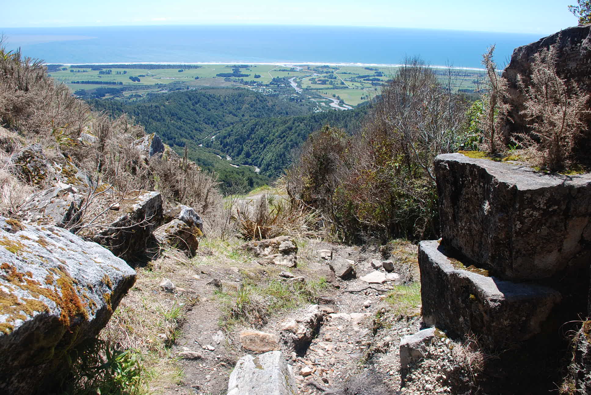 Looking over the incline
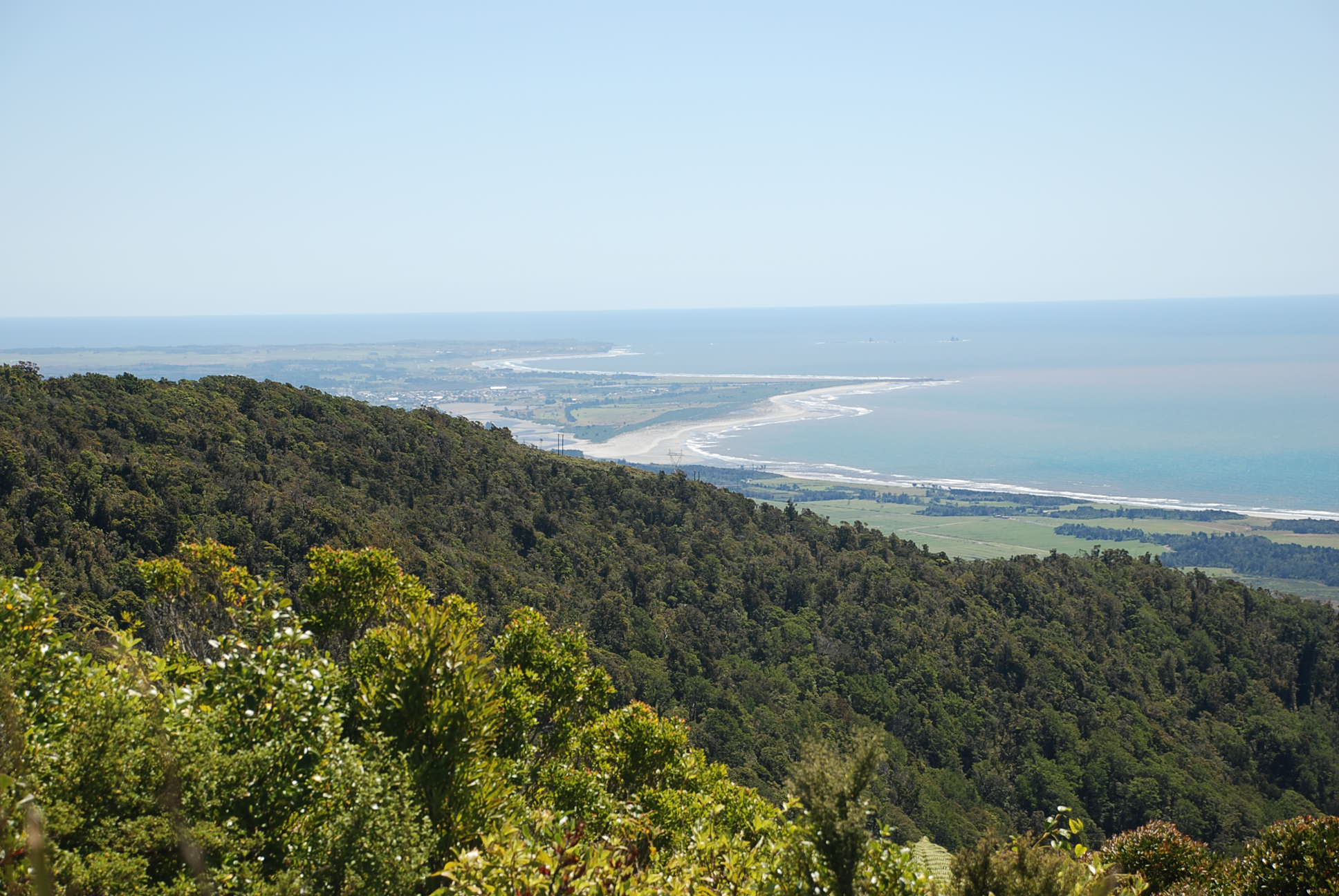 Looking towards Westport, in the early days of Denniston, Westport must have seemed so close and yet so far away!!
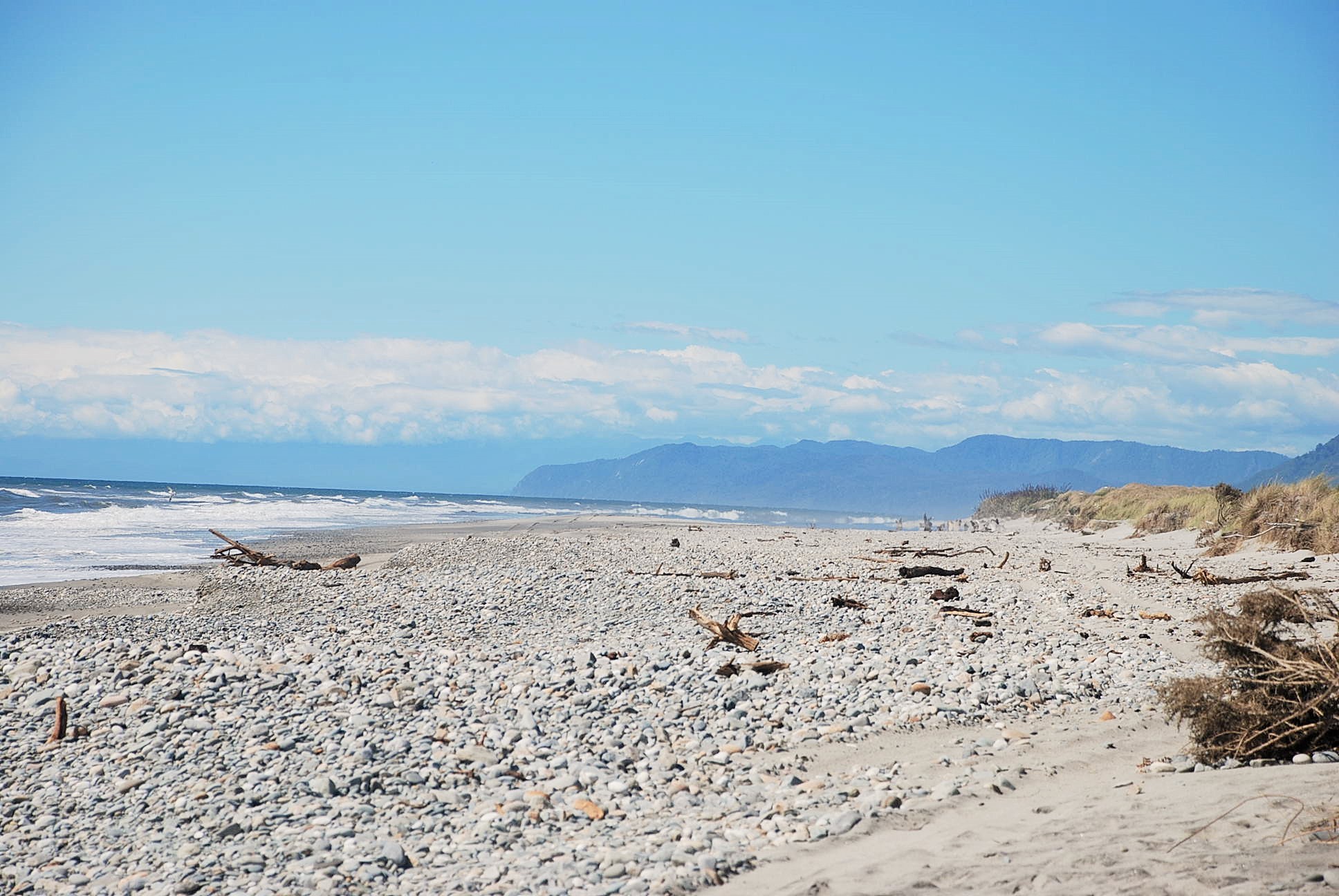 The beach directly below Denniston.
For more information and different photos – see my original post on Denniston
Getting there
Denniston is a 25 minute drive on sealed roads north of Westport. The turnoff to Denniston is at Waimangaroa, 15 km north of Westport along State Highway 67.


