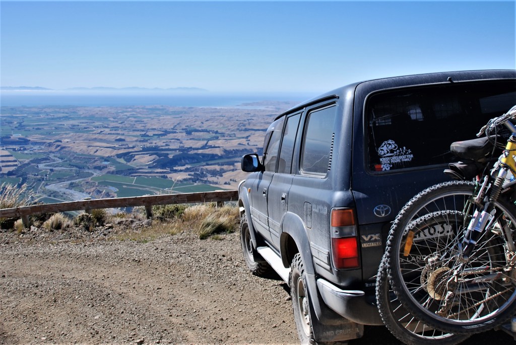
If you are in the Blenhiem area and have a 4WD vehicle, make sure you drive up the Black Birch Ridge road for some spectacular views. The road is good but we were there on a stunning spring day, it’s probably a bit more challenging if it’s wet. The 360 degree views from the site of the observatory are stunning.
This road can be closed at any time due to safety risks, bad weather, and forestry operations and threats to conservation or the track. Vehicles are to stay on the track at all times. Access to Black Birch Road is restricted to 4WD vehicles. The track crosses private property prior to reaching conservation land.
This is the site of Black Birch Astrometric Observatory, the southern station of the US Naval Observatory. Black Birch was operated from 1984 through 1996 and measured positions of the stars in the southern sky until it was rendered obsolete by the ESA’s Hipparcos satellite.

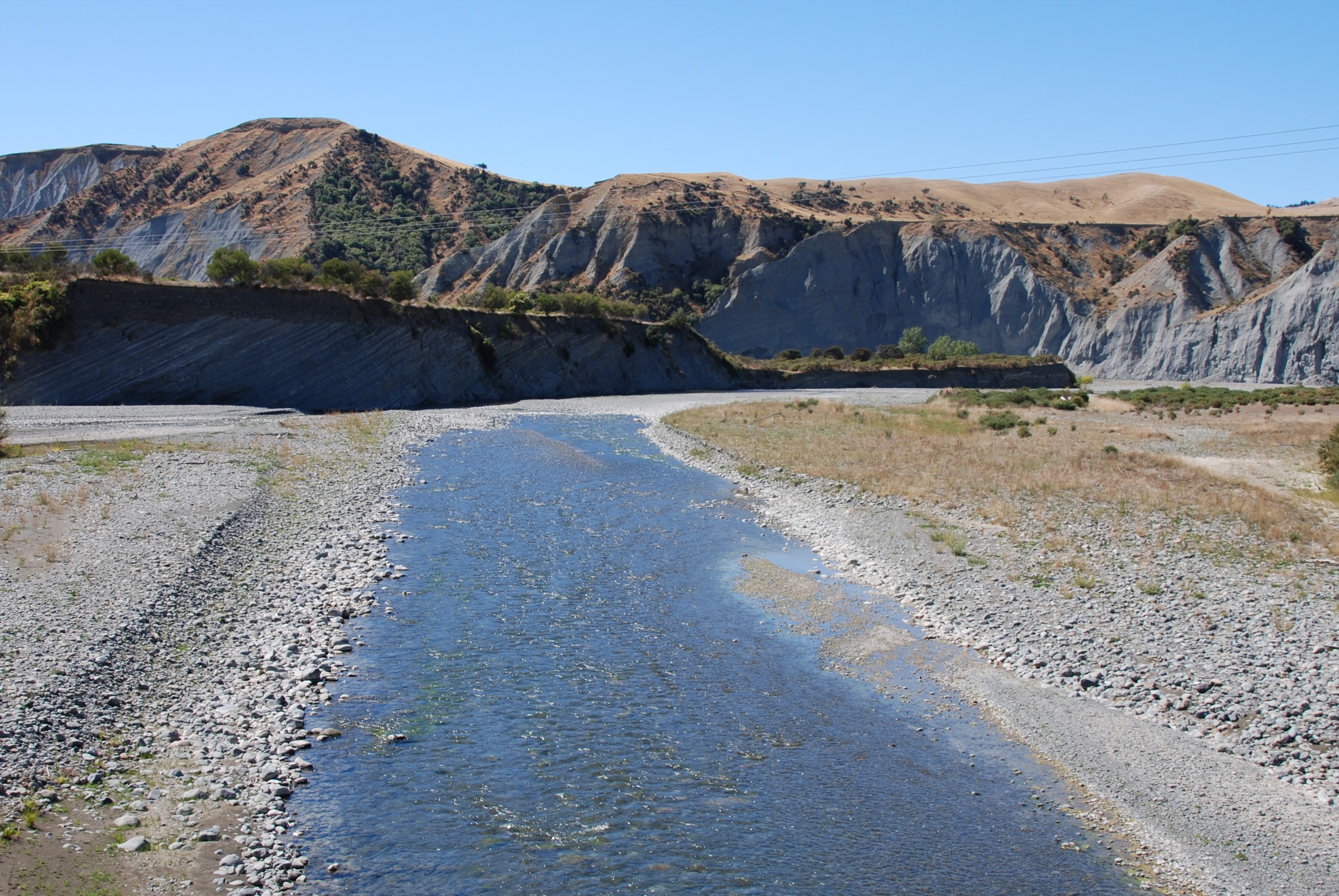
Black Birch Ridge – looking from the Awatere river 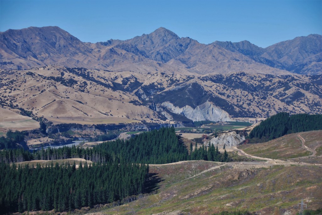
The first part of the track is on forrestry roads 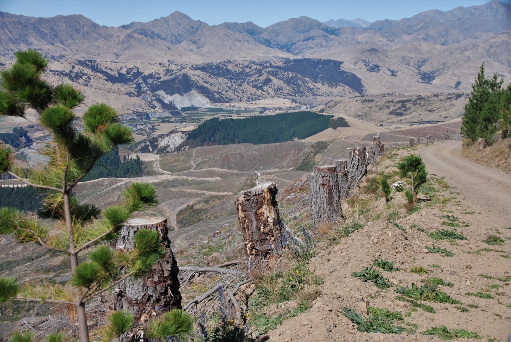

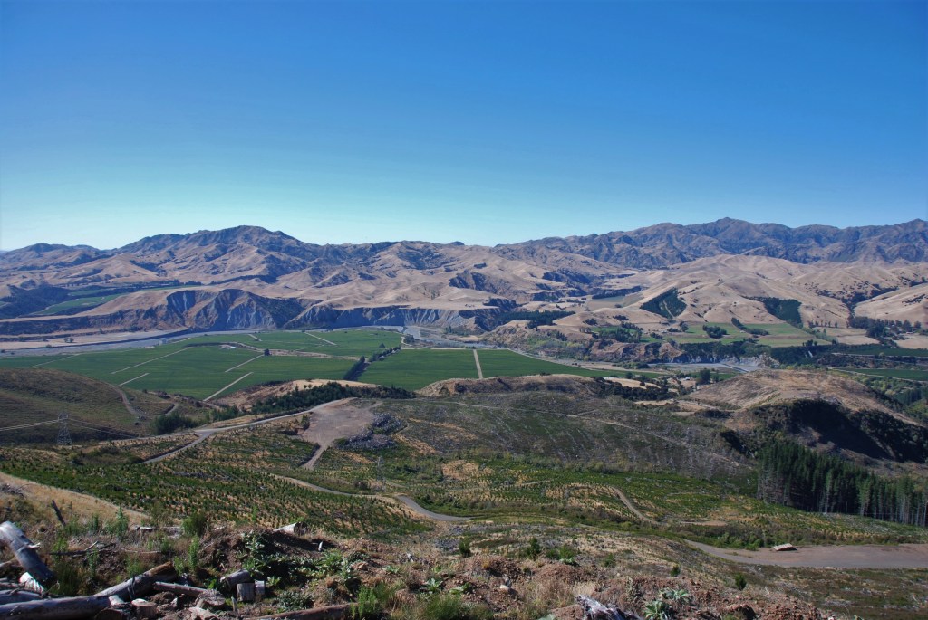
Looking over the Awatere river and valley – farm land, vineyards and forestry. 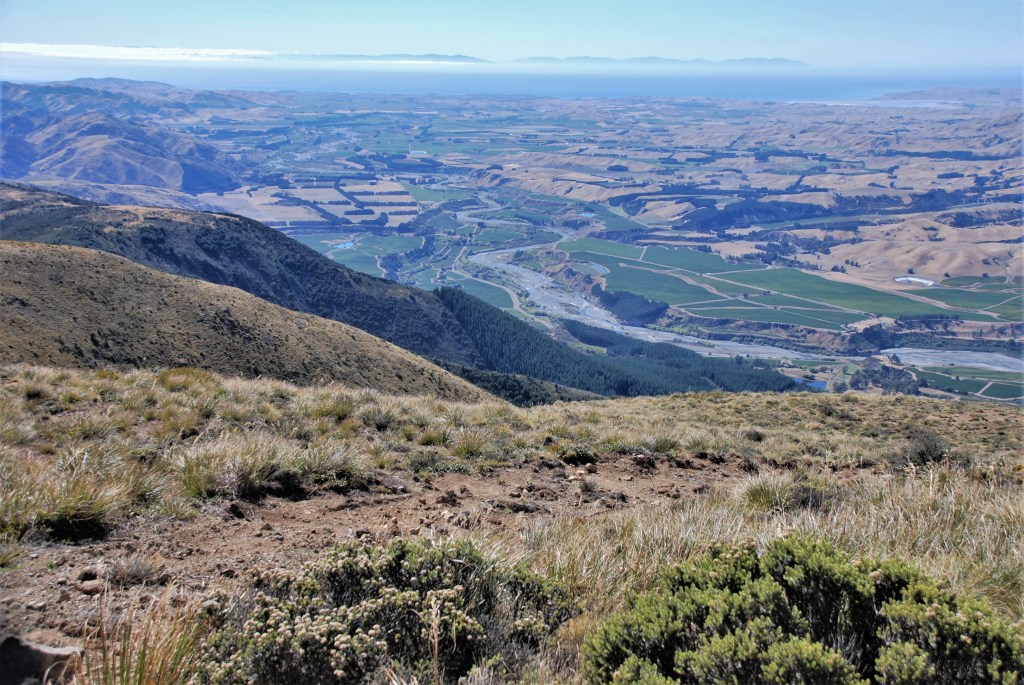
Looking towards the coast and Seddon 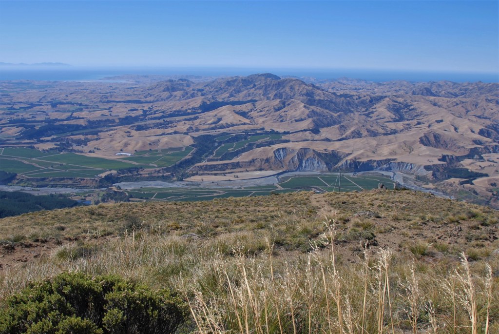
Looking down to the Awatere Valley and Seddon in the distance (top left) 
Looking towards Blenheim 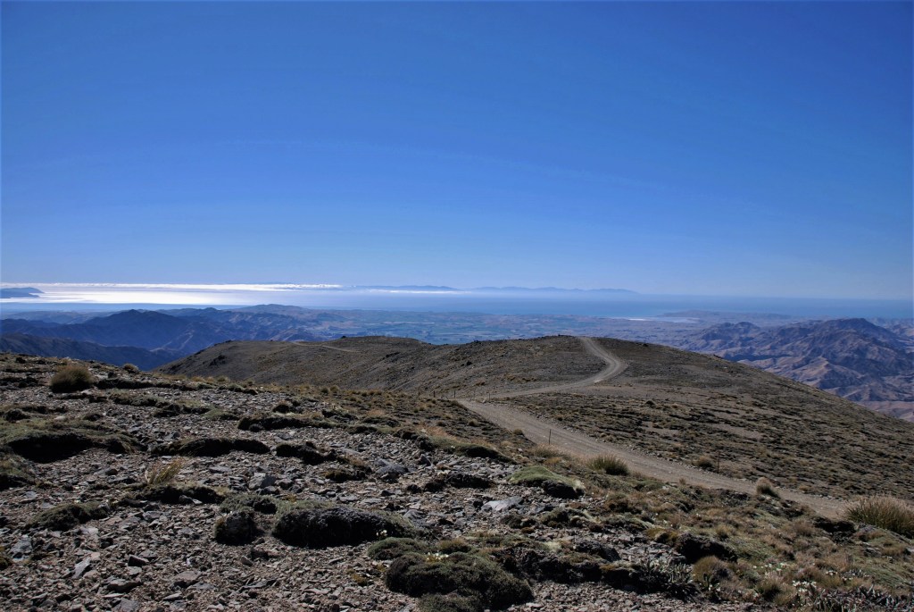
Almost at the top – Looking towards Seddon 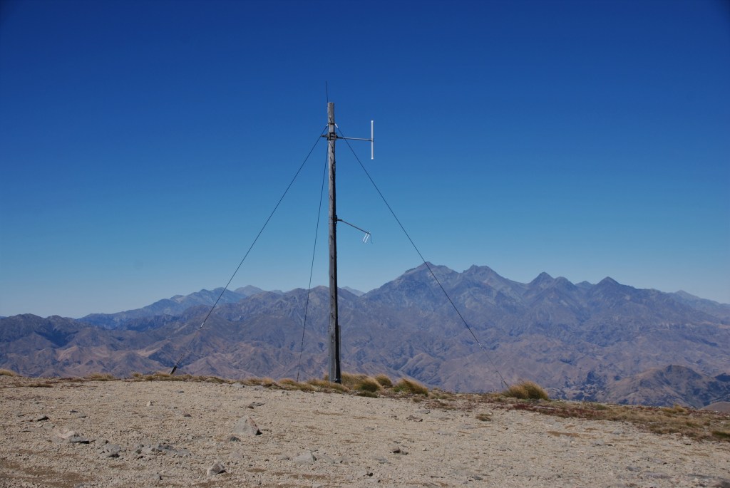
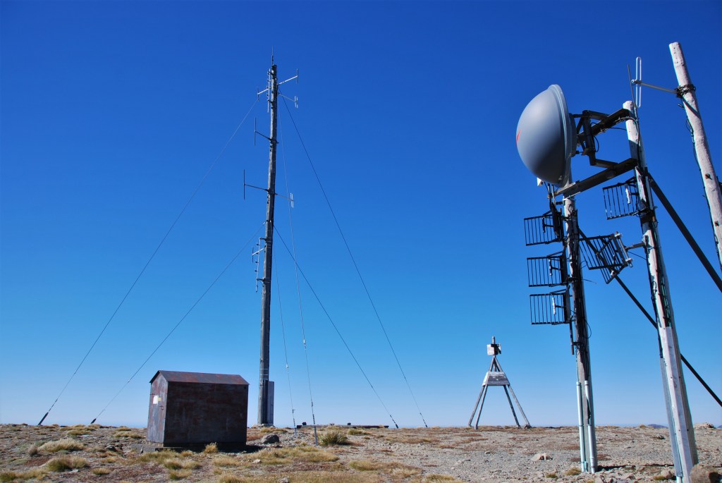
The site of the Obsevatory – time to strech your legs and have a look around 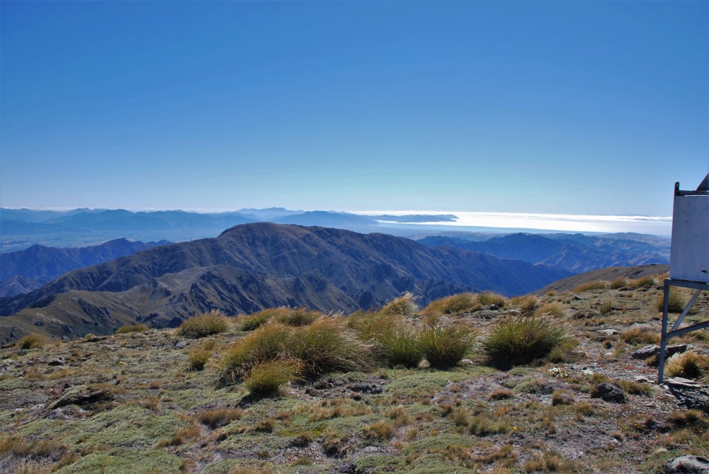
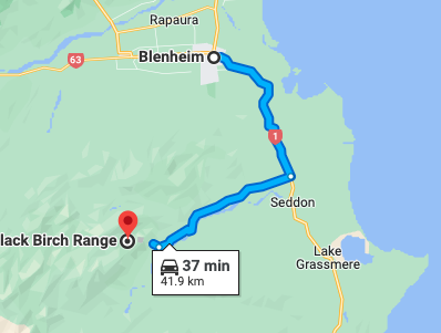
How to get there:
From Blenheim head south, turn right at Dashwood onto Awatere valley road for approx 20 km then turn right into Black Birch Range road.