Would you go through the Cave Stream cave?? I’m not that keen on very cold water and not seeing where my feet are going next so personally I would give it a miss but it’s a popular spot.
There are two short tracks that lead from the reserve car park to the cave entrances. Observe the warning signs about entering the cave – it has claimed lives and you must be properly equipped if you plan to walk through the cave.
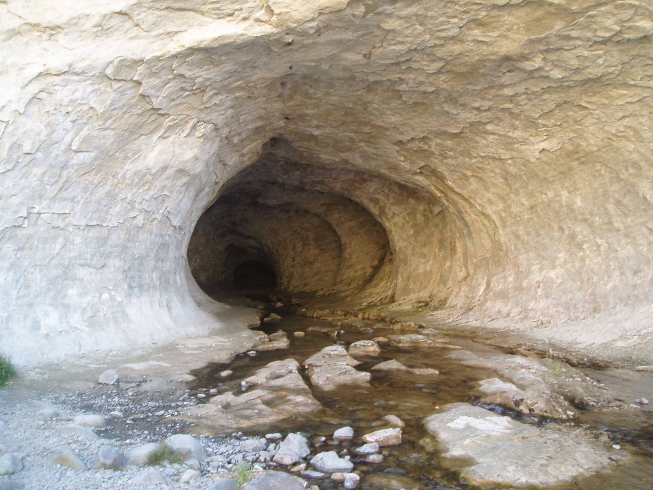
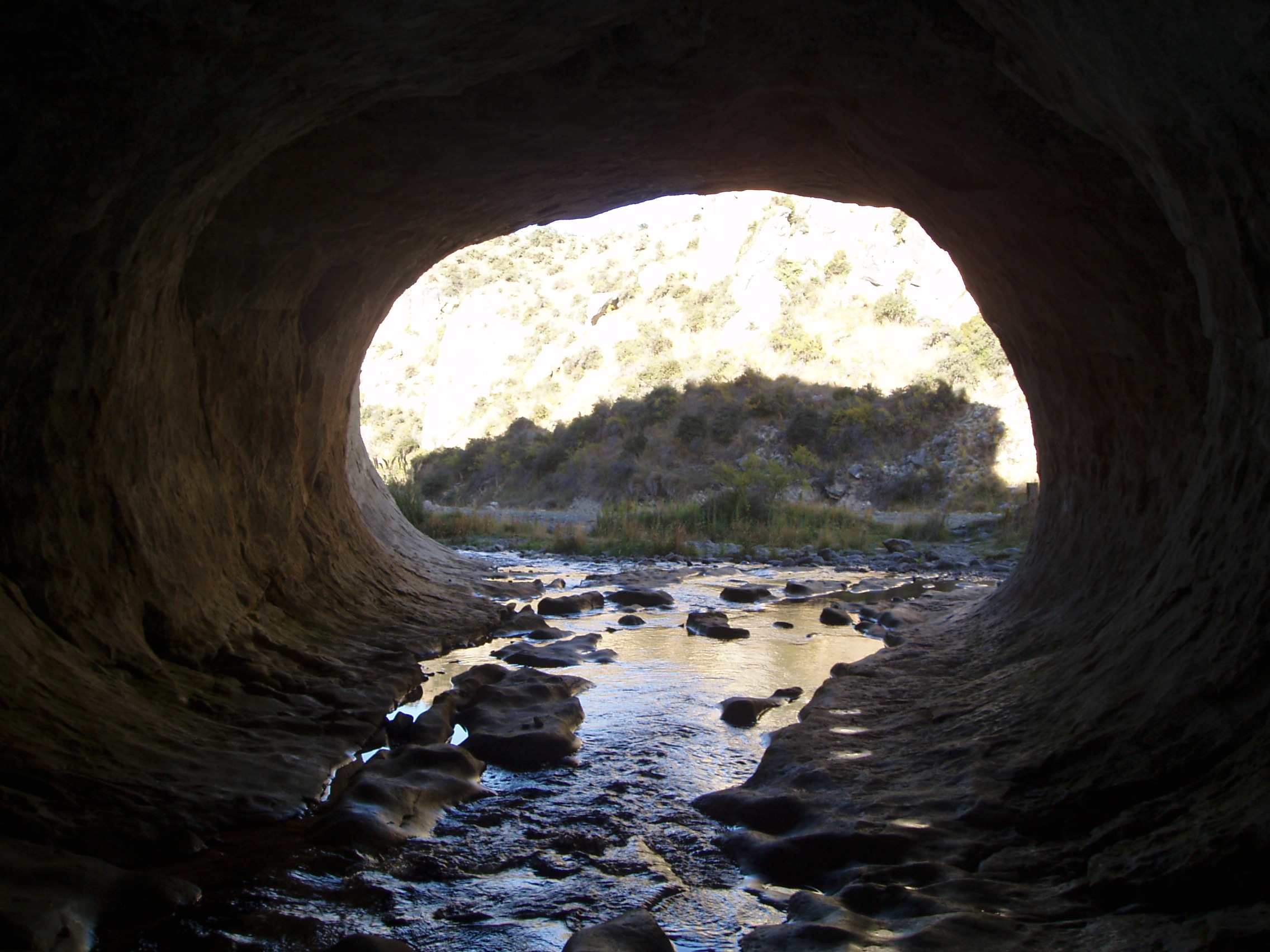
The limestone formations nearby were the setting for the filming of “Narnia: The Lion, The Witch and The Wardrobe”. The cave passage is in pitch darkness for 594 metres between the two entrances. It takes about an hour to go through. There is a three metre waterfall at the inlet end. If care is taken, fit, inexperienced caver’s can go through.
We decided not to go, or should I say – I chickened out, I really don’t like dark, wet, cold places and also a woman had recently died in the cave. So for me a few meters in where it was still light was far enough!!
Caving parties should have at least two reliable lights per person plus spare batteries, warm polypropylene or wool clothing, and sturdy footwear.
Scour holes, terraces and small waterfalls can be seen while going through the cave – apparently!!
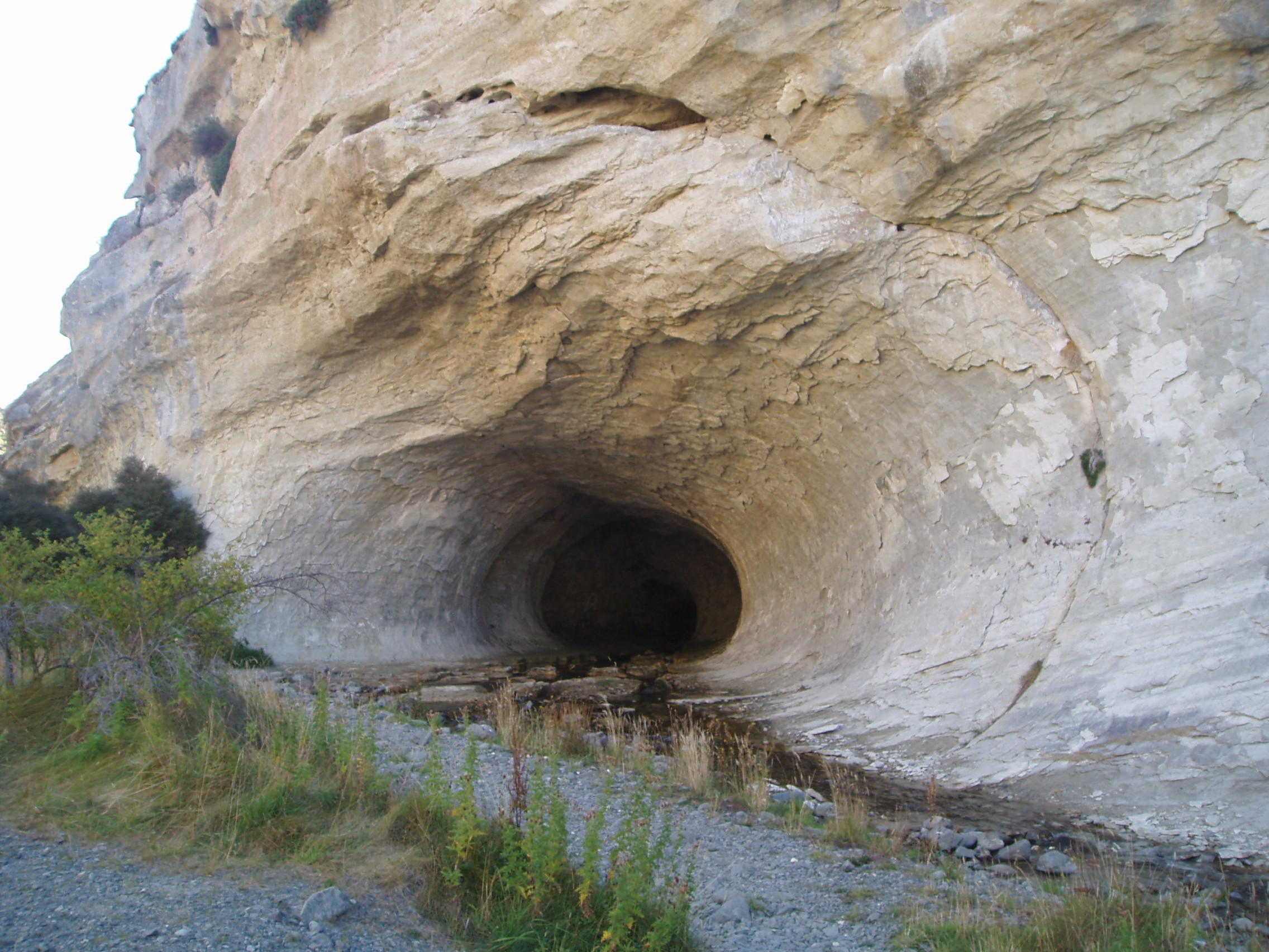
Caver’s are recommended to enter the cave at the outflow end and walk against the flow of the stream. There are several small waterfalls to climb. To assist climbing out the inlet end of the cave, a rung ladder ascends beside the waterfall. A chain and steps help to get along the overhang ledge to the exit.


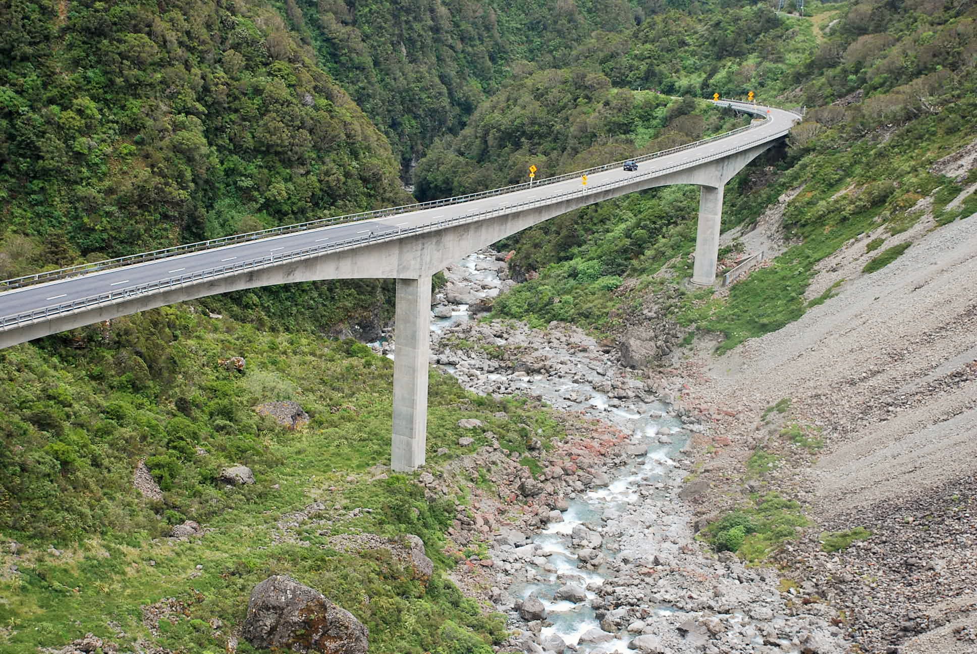
The Otira viaduct is to the south of Otira, between Otira and the Arthur’s Pass summit. Completed in 1999 , the 440 metres (1,440 ft) four-span viaduct stretches of unstable land, replacing a narrow, winding, dangerous section of road that was prone to avalanches, slips and closures.
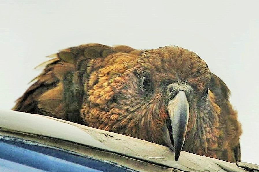
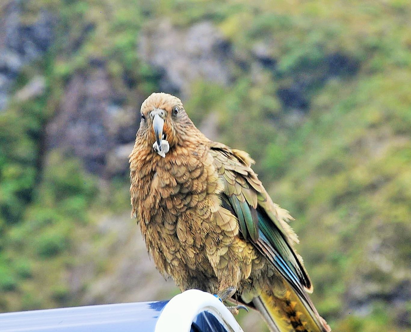
A very cheaky Kea sitting on top of our caravan – you have to watch these birds, they like to destroy things!!
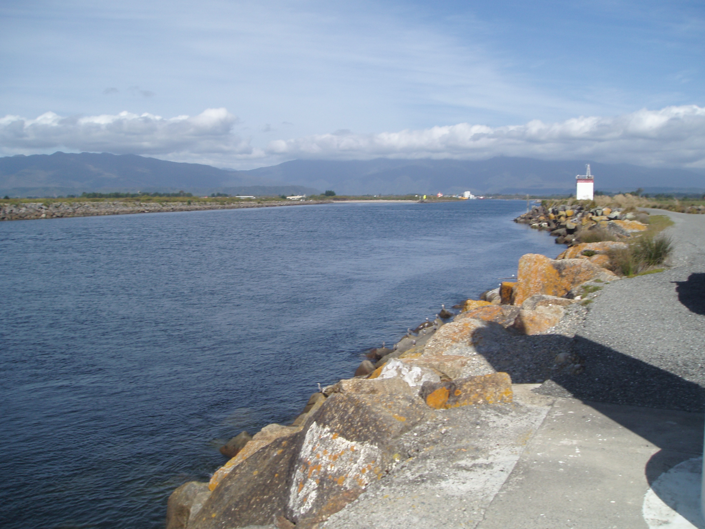
The Grey River
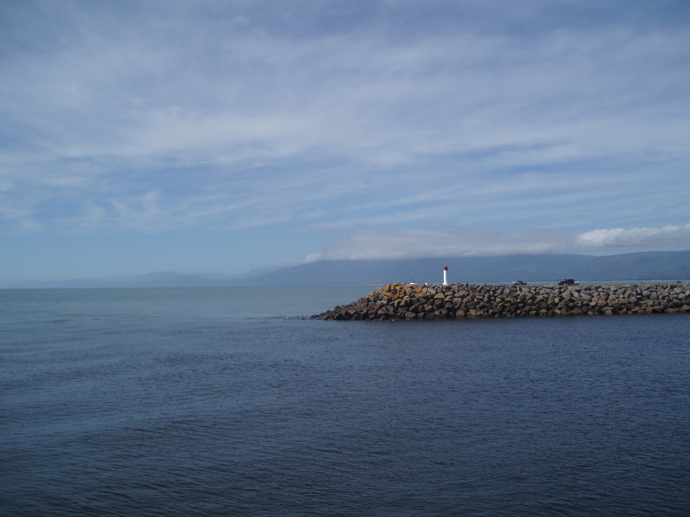
The grey river mouth at Greymouth
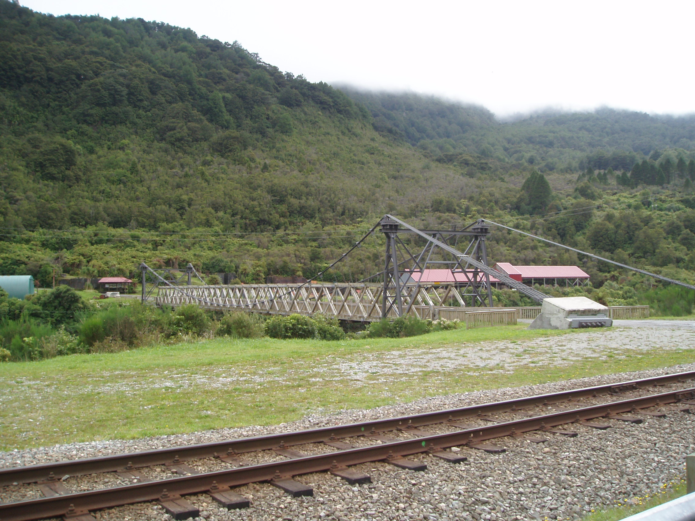
This was one of the country’s earliest industrial sites where coal was mined and coke, fire bricks and other products were manufactured from the 1860s until the 1940s. The area is well interpreted with a short walk around the historic coke ovens, brick factory and the remains of tunnel entrances.

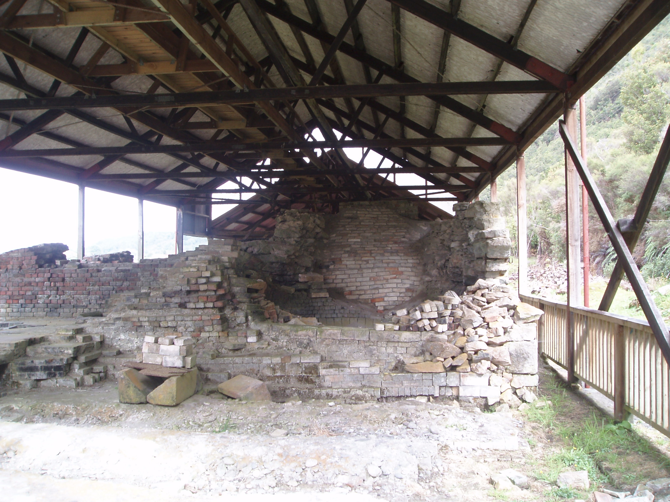

The Brunner Mine site is 11 km east of Greymouth – the main car park is on SH7. It can also be accessed from Taylorville Road but parking is limited. Walk across the Burnner Bridge to access both sides of the river.


Pingback: Cave Stream, Arthurs Pass and Brunner Mine – West Coast | offthemainroadnz