The Kohaihai River mouth is the furthest point north you can reach by road on the stunning and wild West Coast of the South Island. Going south, the road ends about 10km past the Anatori River mouth (see my post on Anatori). The area in between is mostly part of the Kahurangi National Park, with no roads.
The entire length of the Kohaihai river is within the Kahurangi National Park, and the river’s mouth marks the southwestern end of the Heaphy Track.
One of New Zealand’s nine great walks, the Heaphy Track, finishes here or starts, depending on which way you’re heading. The 78.4 kilometer, four to five day tramp attracts visitors from all over the world every year. Many people choose to walk only to the first or second huts on the track instead of walking its entire length.
Other than the Heaphy track, there are other shorter walks to do in the area and plenty of beach to explore. Remember to visit the Oparara Basin Arches (see post) while you are in the area, the turn off is about 10km on the Kohaihai road. The road to the Arches is a 14km no exit road which isn’t sealed.
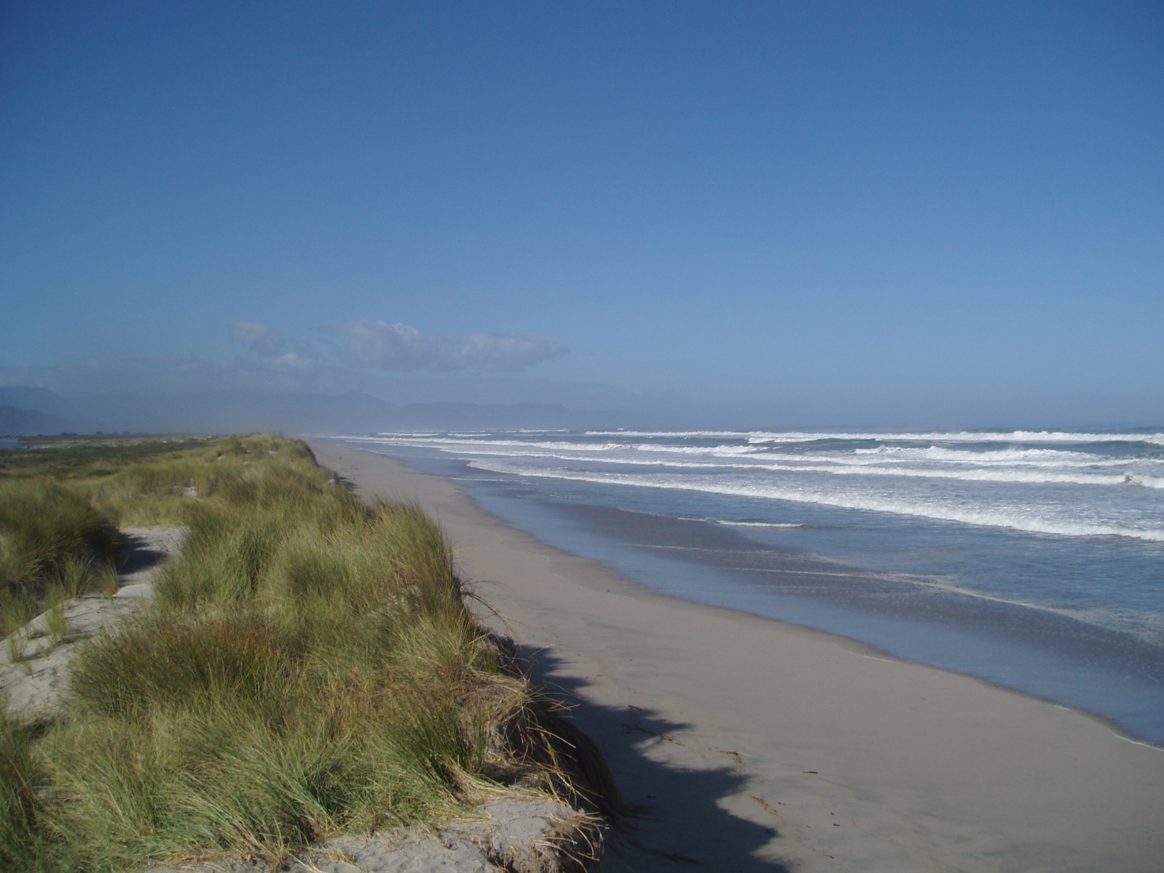
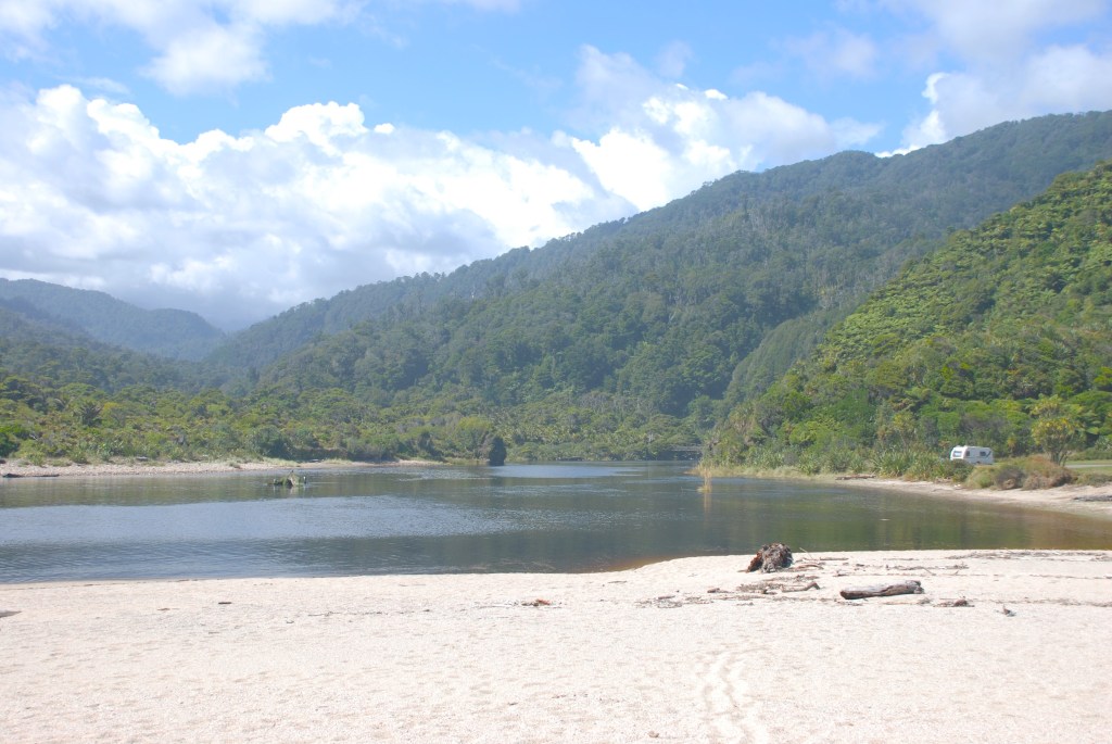
Looking south
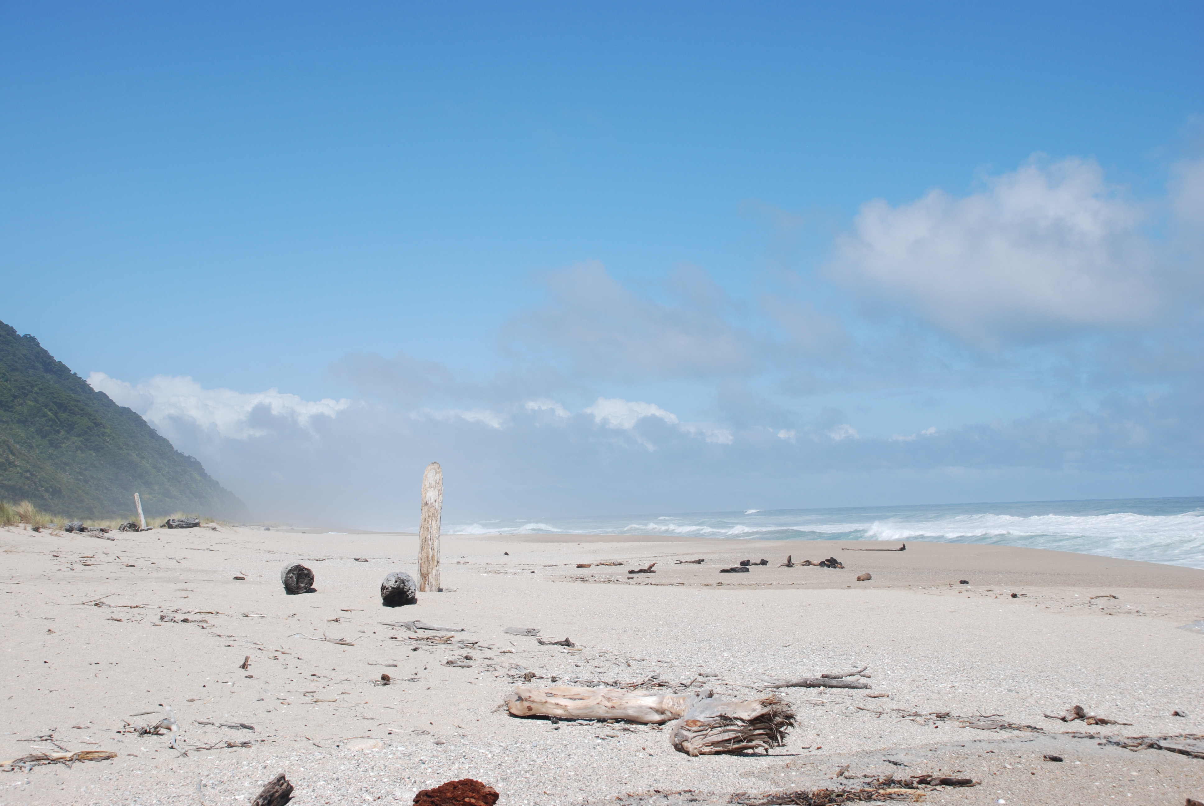
Looking south
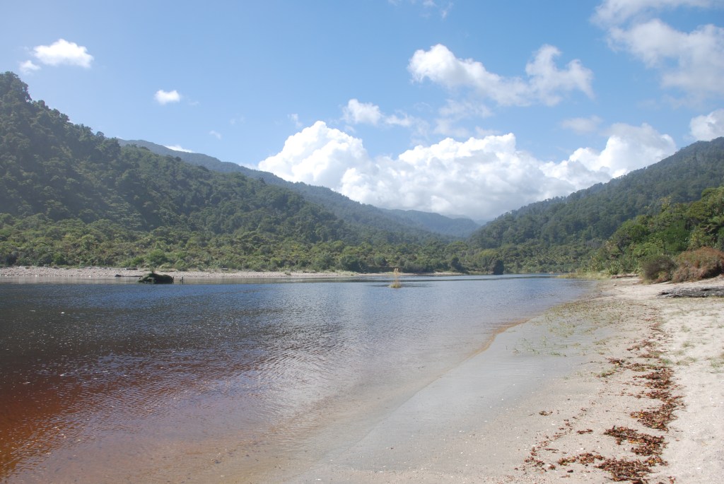
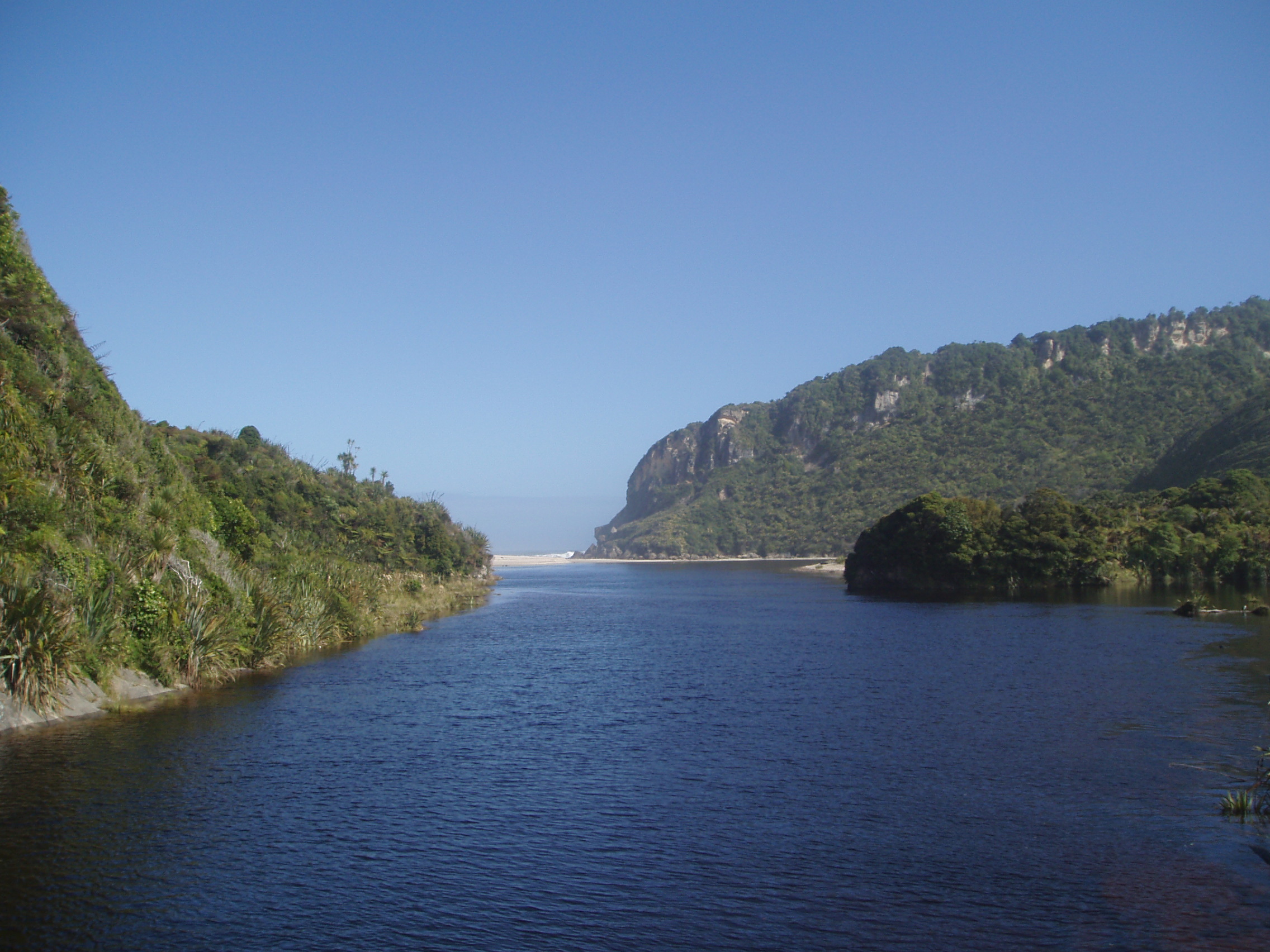
Looking up the river towards the Start or end of the Heaphy track
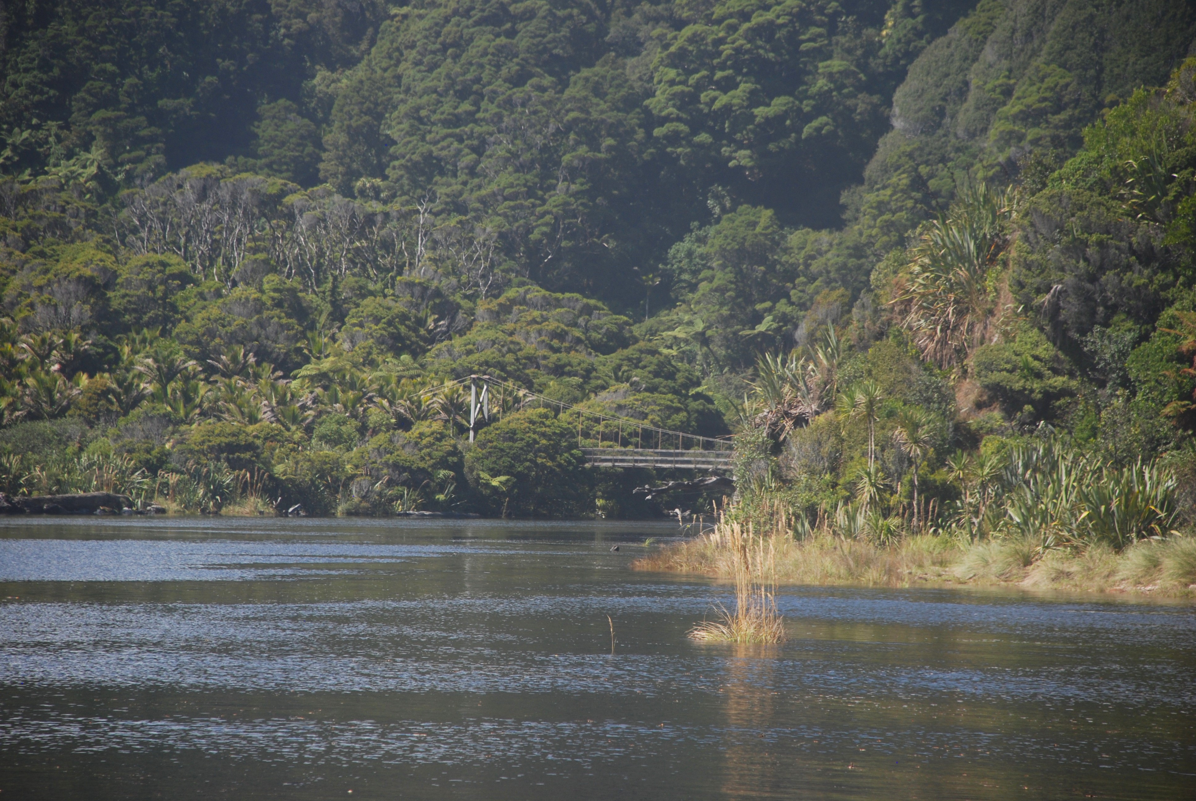
The swing bridge on the Heaphy track.
Looking back from the swing bridge towards the beach.
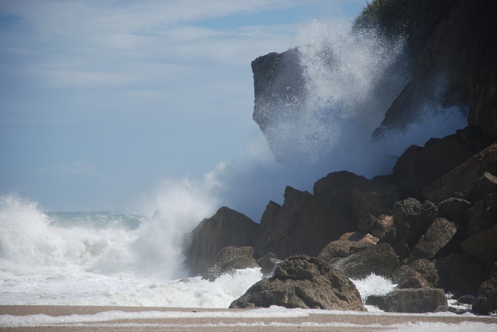
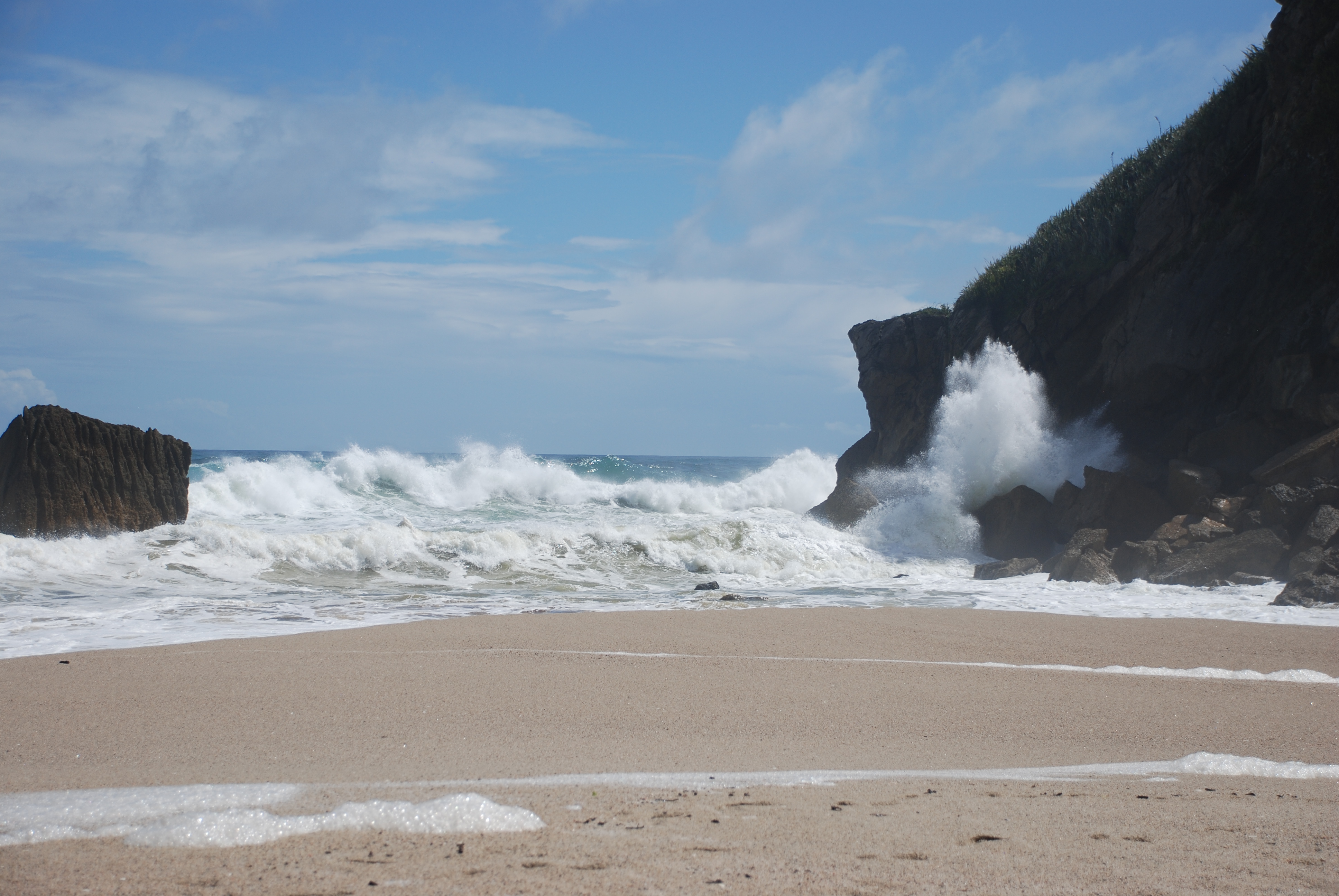
The wild west coast
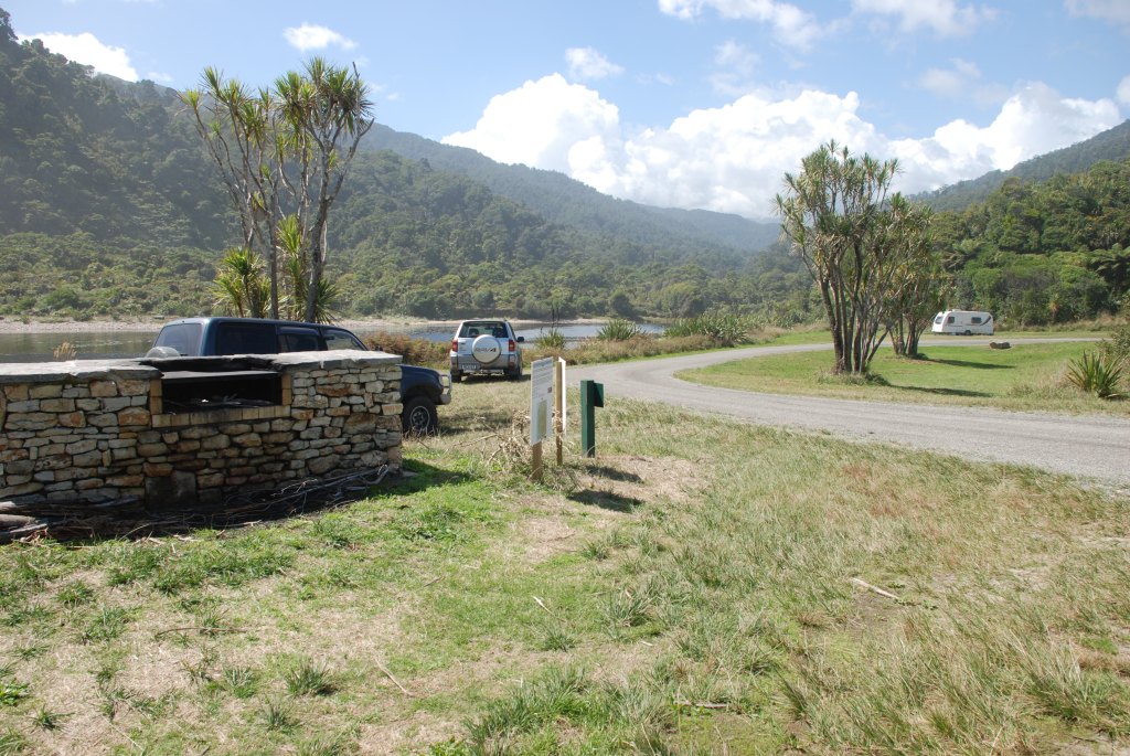
Part of the DOC camping ground, there is ample space, but be aware as there are a significant number of sandflies present.
The Kohaihai river with the Kahurangi National park in the background.
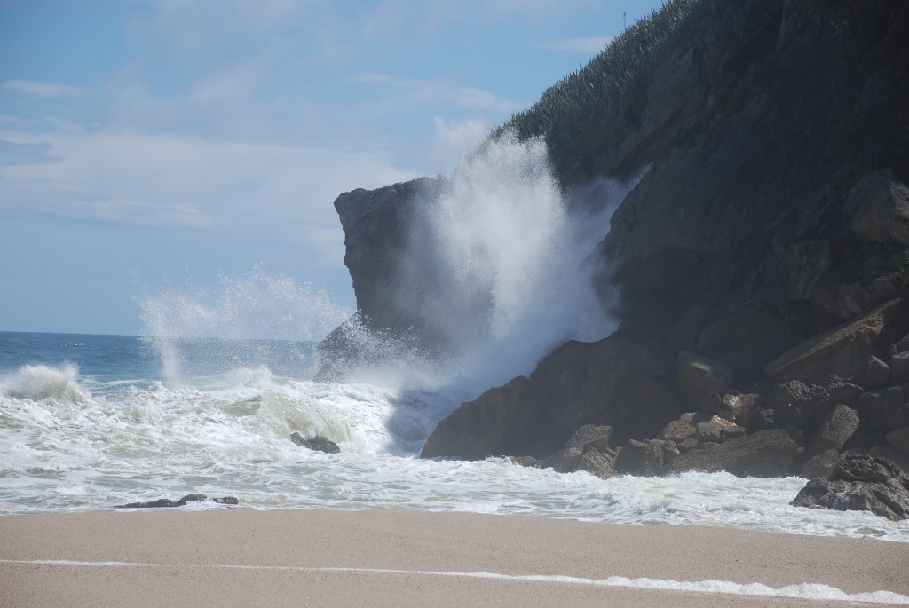
The wild West Coast
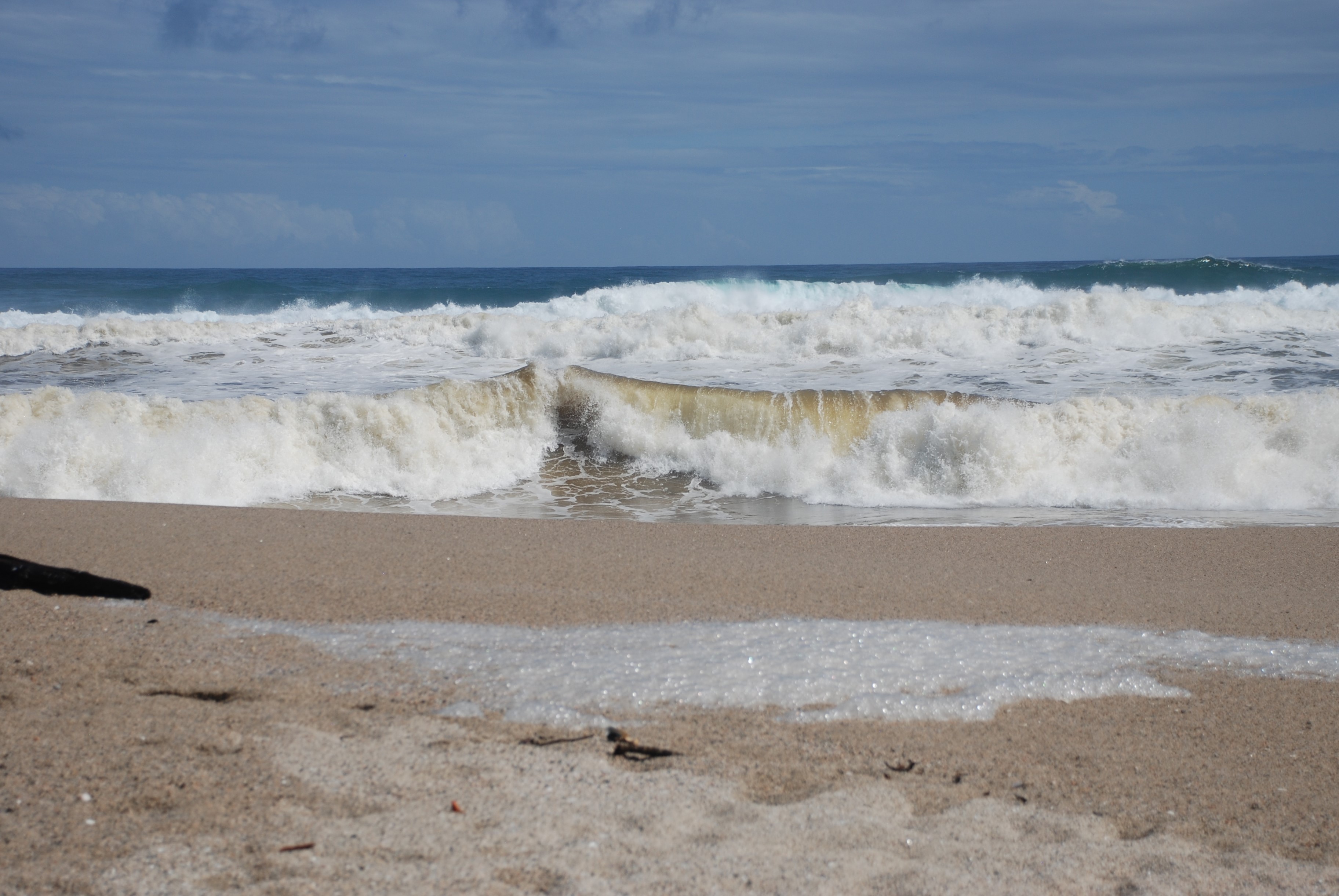
This area is very remote and beautiful.
How to get there:
From Karamea head north on SH 67 for approx 18km.


